Hiking Dao Peak: sunrise at Saipai Mountain, overlooking the city from Dao Peak’s Sinsantai

CHINGKAI
3 days ago
⛰️Preface
- On this trip (late Sep 2026) to Korea, besides my Jirisan traverse, I entered and exited Korea via Seoul. Before leaving Korea, I wanted to find a spot to watch the sunrise,
and I also happened to see this event info on Creatrip: K-Hiking Challenge | Bukhansan National Park (Dobong)& Claim special freebies
So I planned this route around that itinerary 🚩: Sapaesan → Artillery Unit Ridge → Sinsundae → Dobong Visitor Support Center
- Since I’ve visited Bukhansan Baegundae twice before, I was also looking forward to the dramatic rock formations of Dobongsan, which is part of Bukhansan National Park as well.
📍How to get there🥾
- This time it was a traverse route, entering at point A and exiting at point B, starting from Hogu Station and ending at Dobongsan Station.
- Because we needed to reach Sapaesan before sunrise and the subway hadn’t started running yet, we took a night bus from Dongdaemun to Dobongsan Station, then transferred to a taxi to the trailhead.
- If you’re only going to Dobongsan Sinsundae, transportation is relatively convenient, take the subway to Dobongsan Station on Line 1, then walk to the trailhead.
🥾Hiking info
- Distance is about 11 to 12 km, total elevation gain about 1,000 m, and it takes around 6 hours (varies depending on fitness level).
- The ridge sections are exposed, so please carefully assess your ability before planning this route.
- Hiking clothing and hiking boots are recommended. You can bring anti-blister gloves, and if any part overlaps with nighttime, be sure to pack a headlamp.
- You can refer to the route map below. When hiking abroad, be sure to prepare an offline map, and it’s best to hike with a companion.
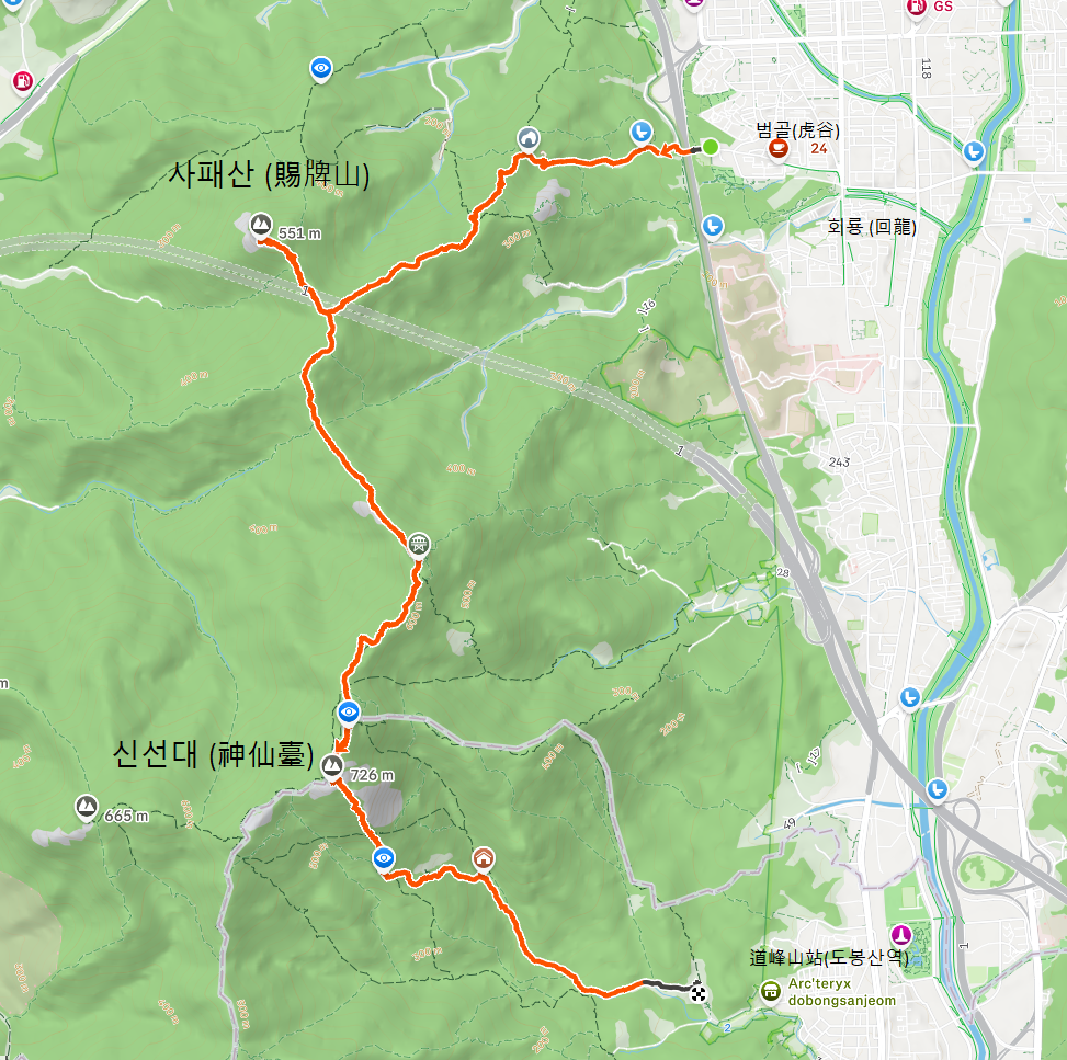
🔎Detailed guide
On the way up from Hogu Station, after passing through a tunnel, signs start appearing. It’s a gentle uphill on a flat paved road, and not long after you start, there’s a restroom by the roadside. It was fairly clean.
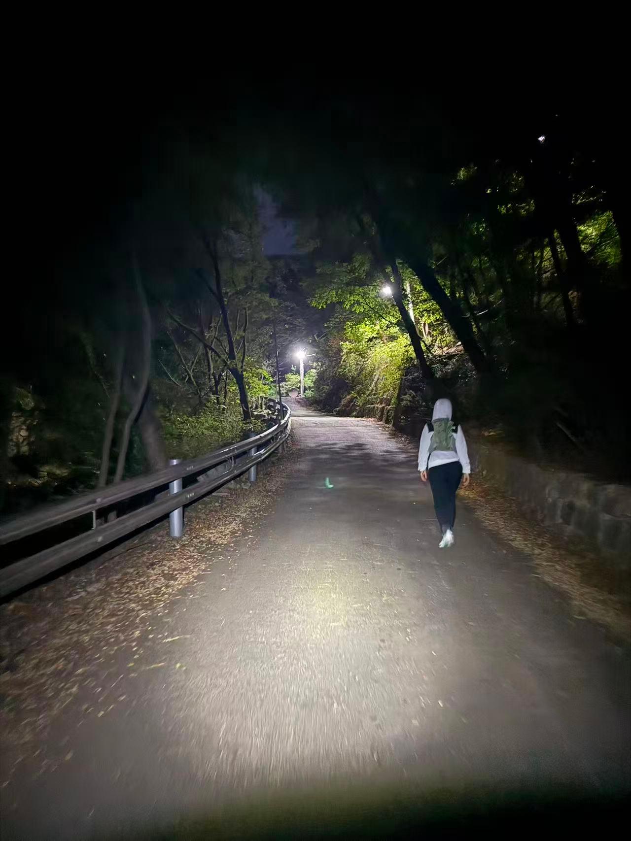
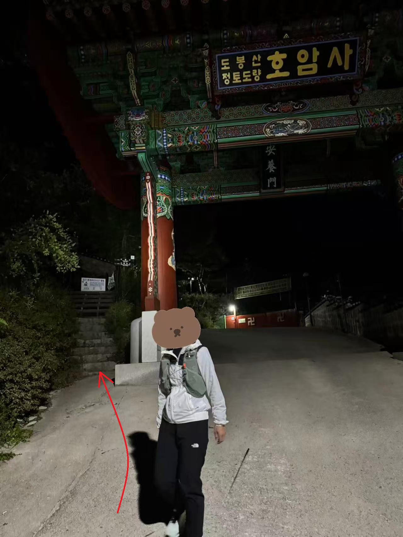
After a slightly steep right-turn slope, before Hogamsa Temple, take the stairs on the left toward Sapaesan.
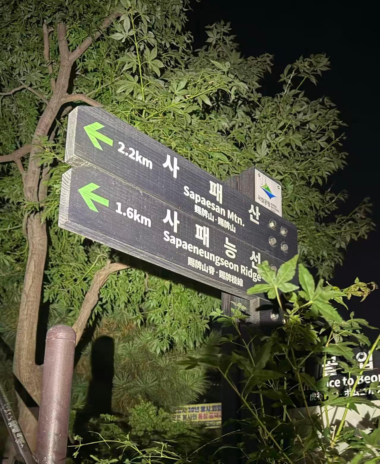
There are signs along the way, just follow them.
Along the way you can look out over the night view of Uijeongbu, Gyeonggi-do. Watching the sunrise means an early wake-up (we left from Dongdaemun at 3 a.m.), but you get both the night view and the sunrise in one go.
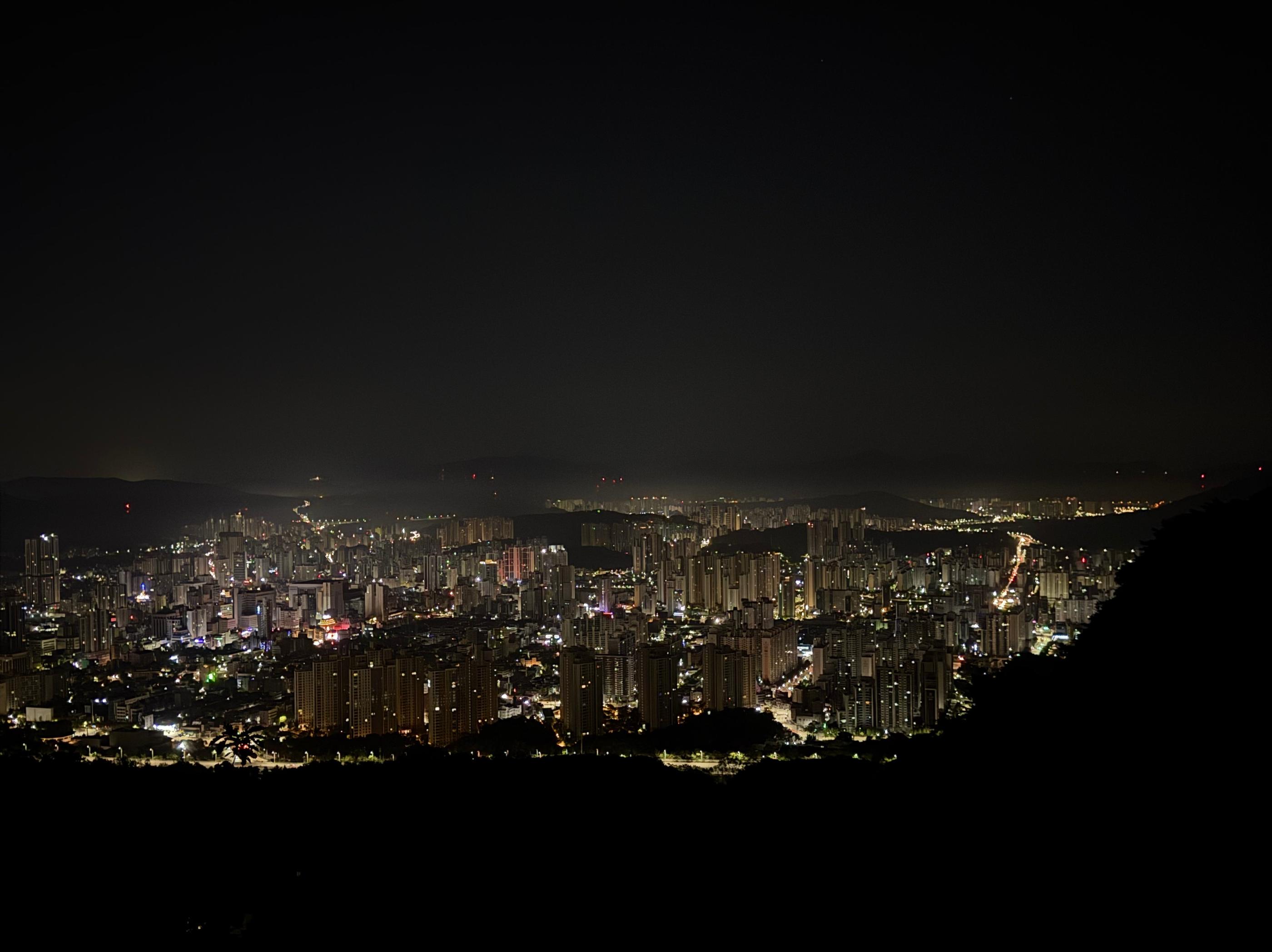
It takes about 1 hour to reach the ridge, then about 20 minutes north to Sapaesan.
We waited about 20 minutes, and then the horizon started to brighten.
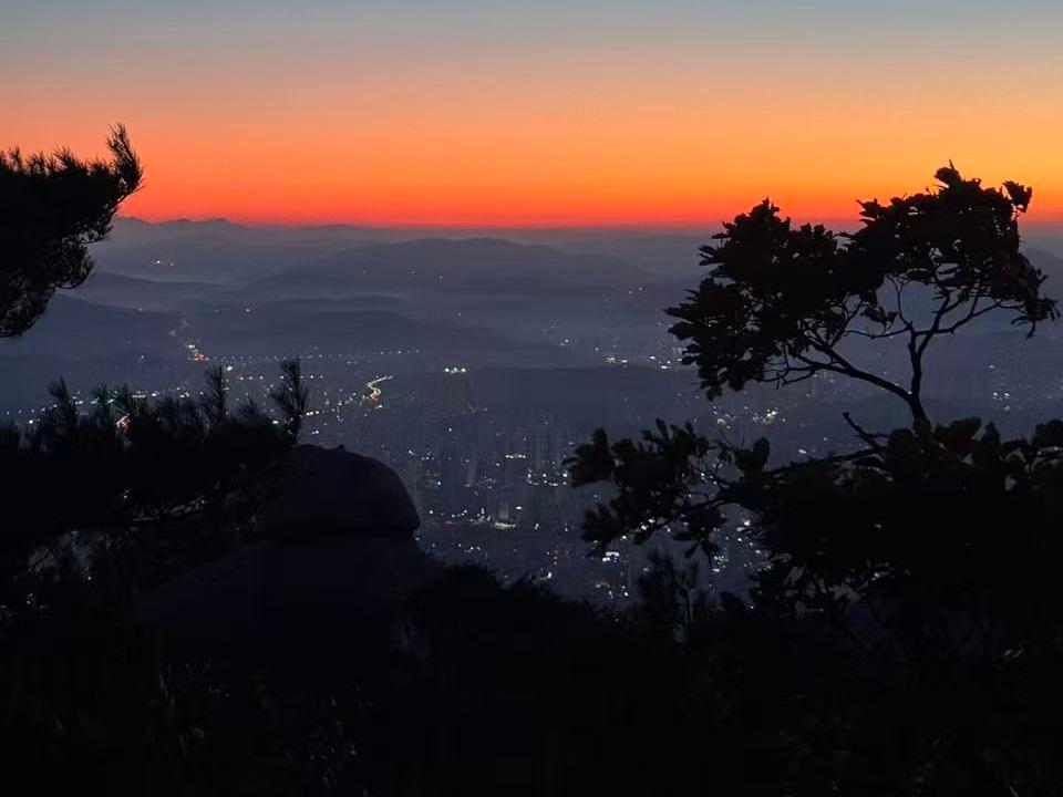
We were lucky to catch a beautiful “egg-yolk” sunrise. It’s very windy here, so a windbreaker jacket is recommended.
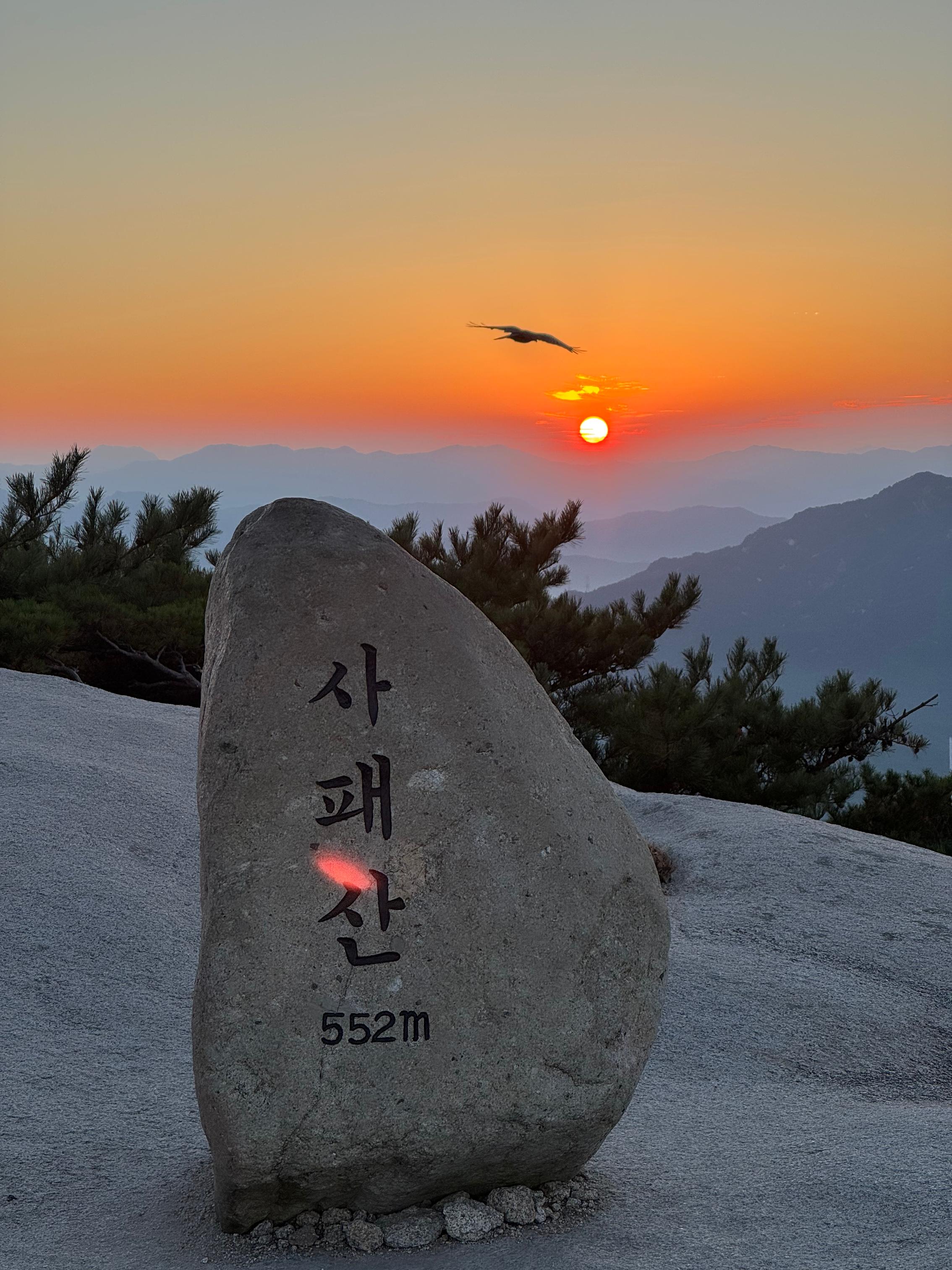
After taking countless photos and having a few snacks, we headed south along the ridge.
The ridge scenery is rich and varied, with wooded trails,
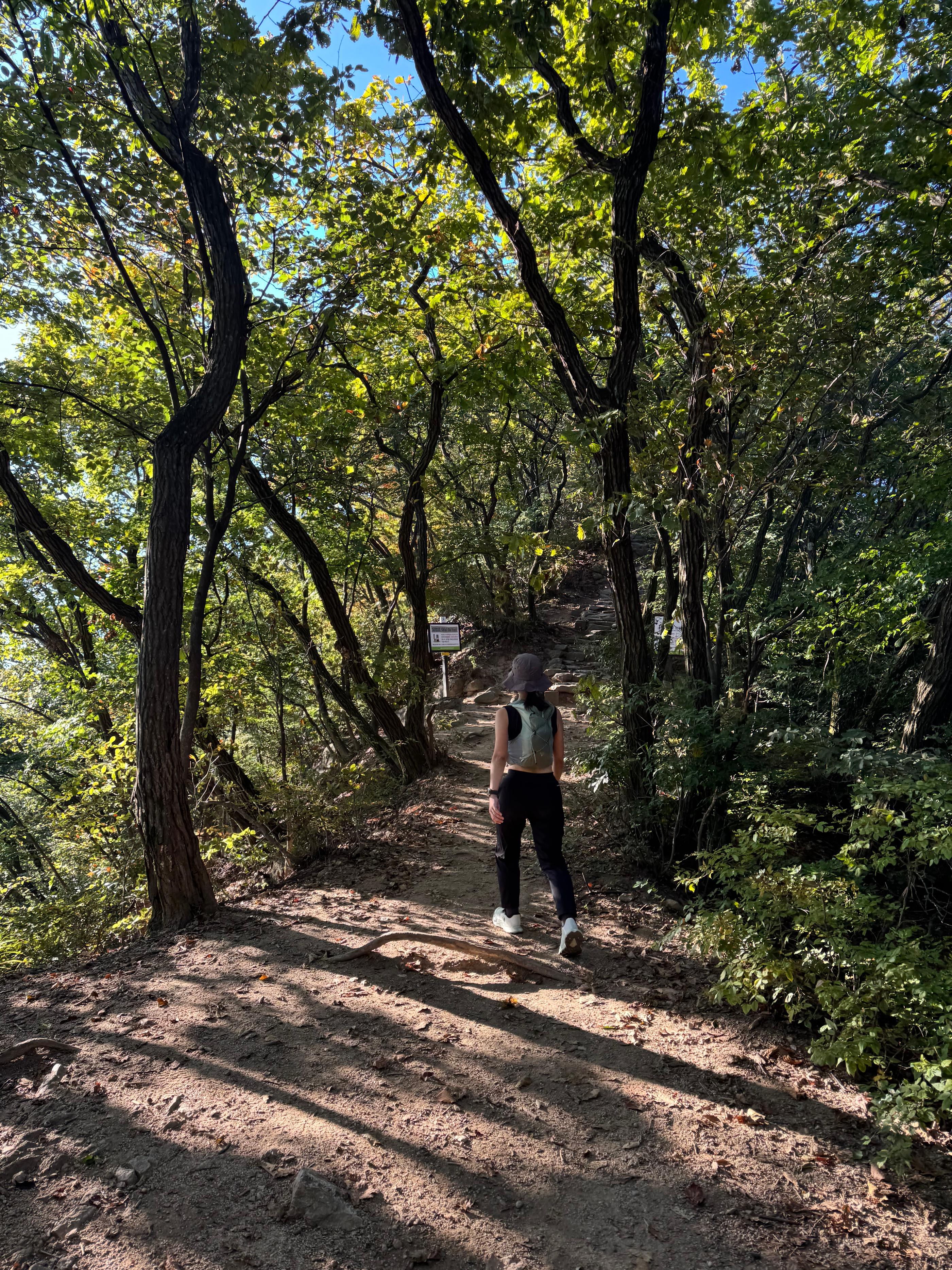
and big rocks with lots of exposure,
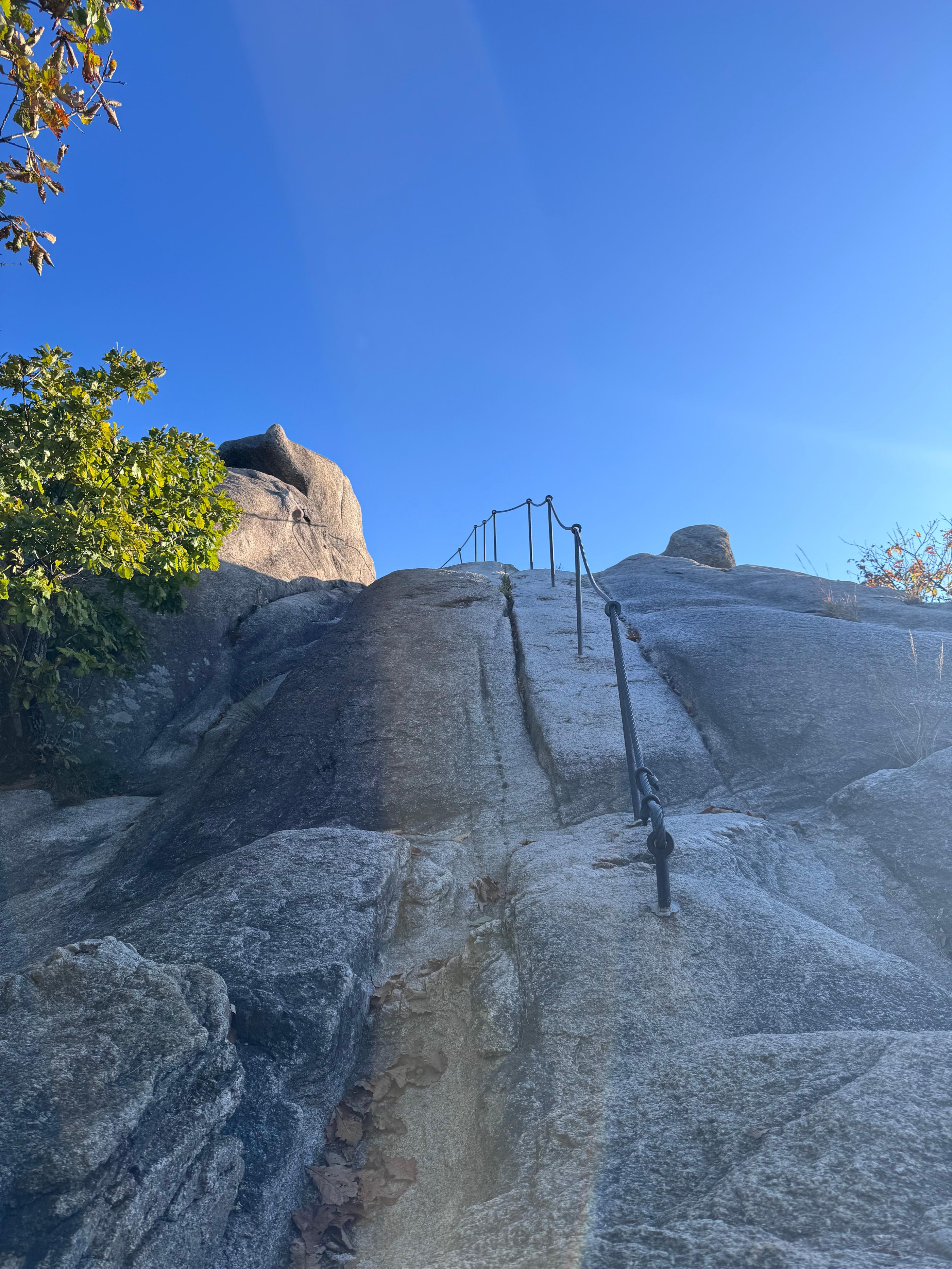
Walking along the ridgeline, there’s a view around every corner,
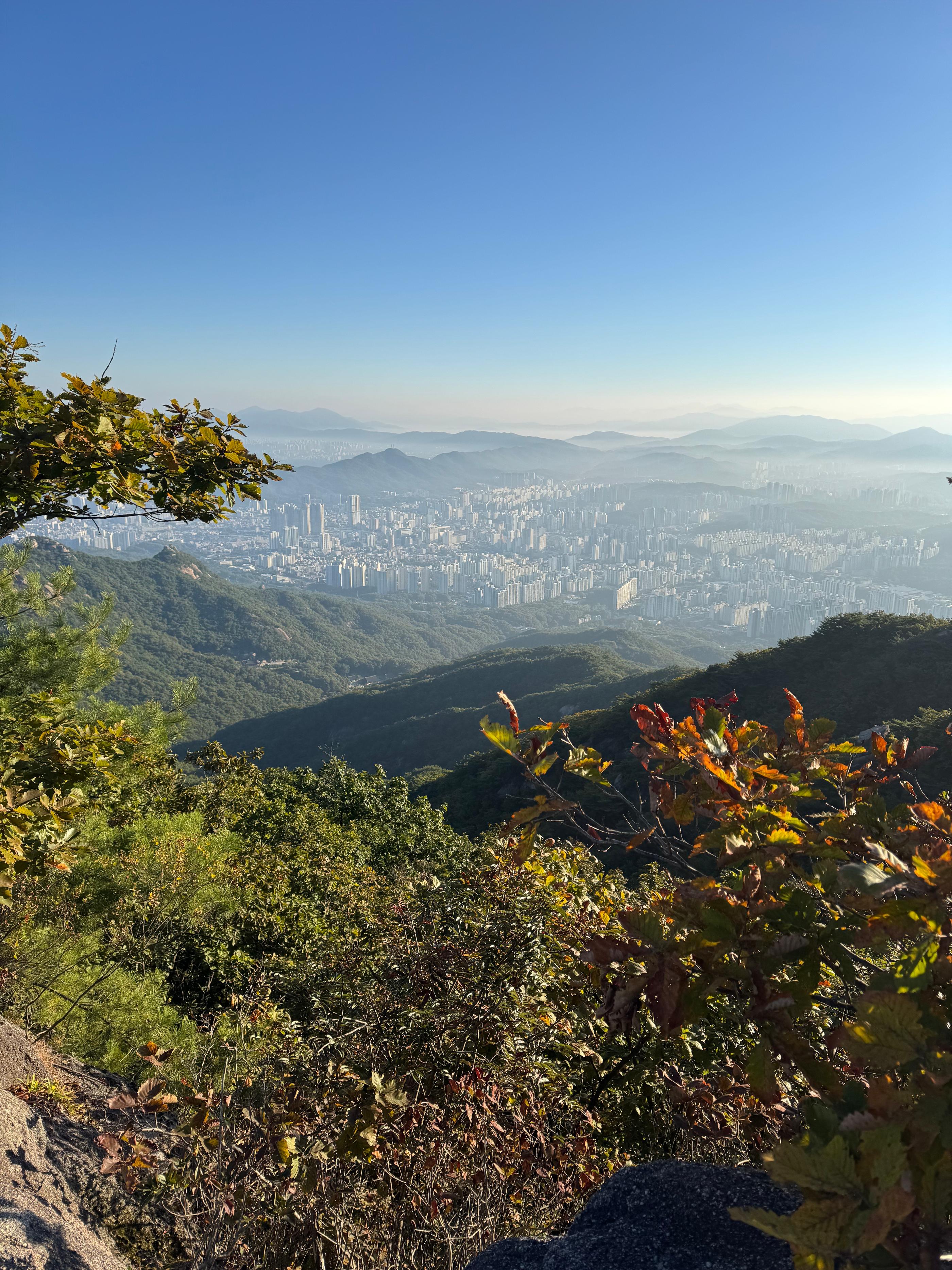
layered mountain ranges paired with city buildings.
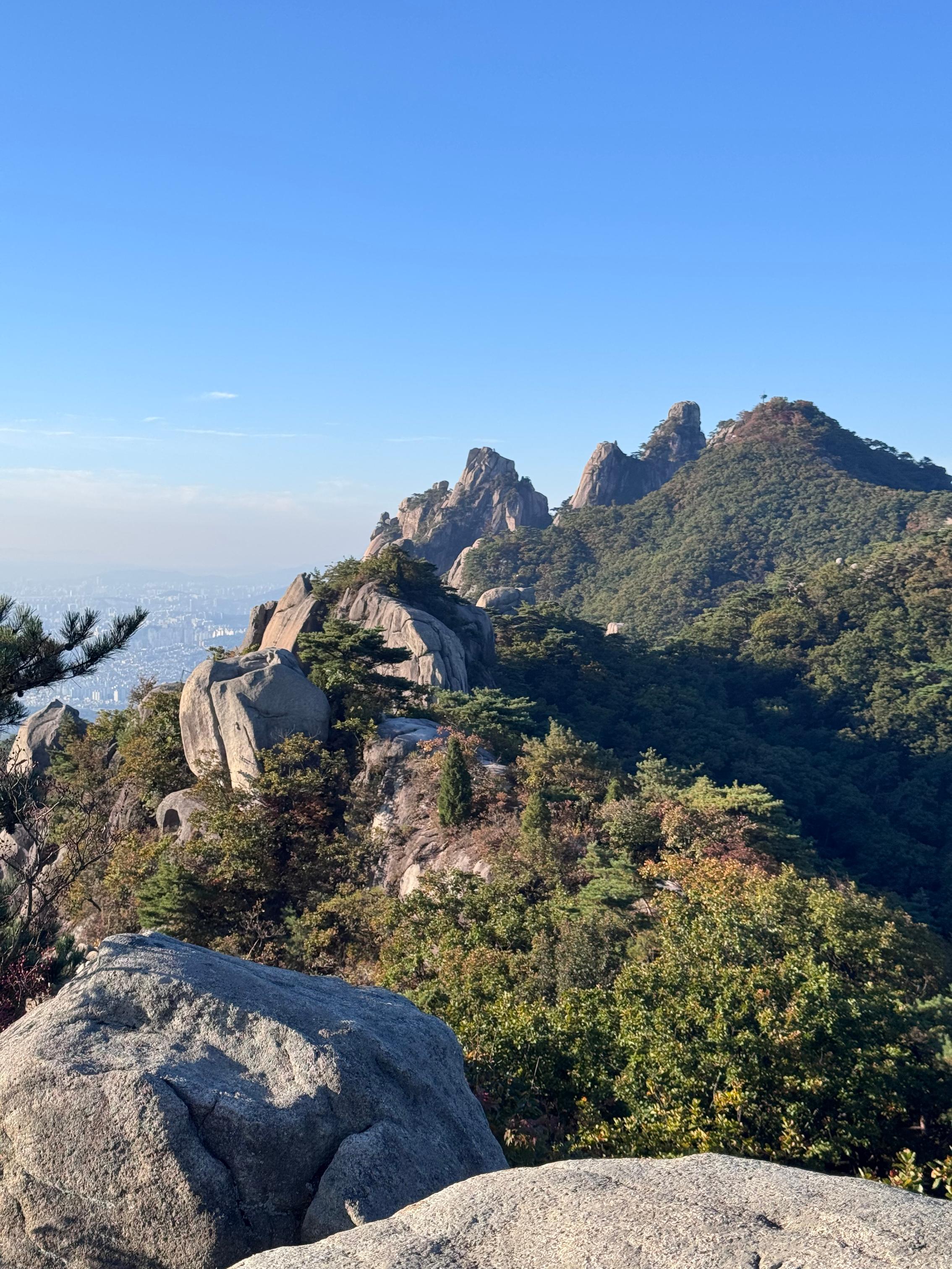
When passing Bataejeongbong Peak, there was construction here, expected to continue until December 31, 2026. I’m looking forward to coming back after it’s completed.
After Bataejeongbong Peak, you reach the north side of Y Valley. There are safety notices here, and to get to Sinsundae you can either go left through Y Valley, or take the bypass route on the right for a small detour.
Note that on weekends, Y Valley is one-way only in the “Bataejeongbong Peak -> Sinsundae” direction (north to south). Going the opposite way is prohibited. There have been multiple fall accidents here, so please choose your route based on your condition and the weather.
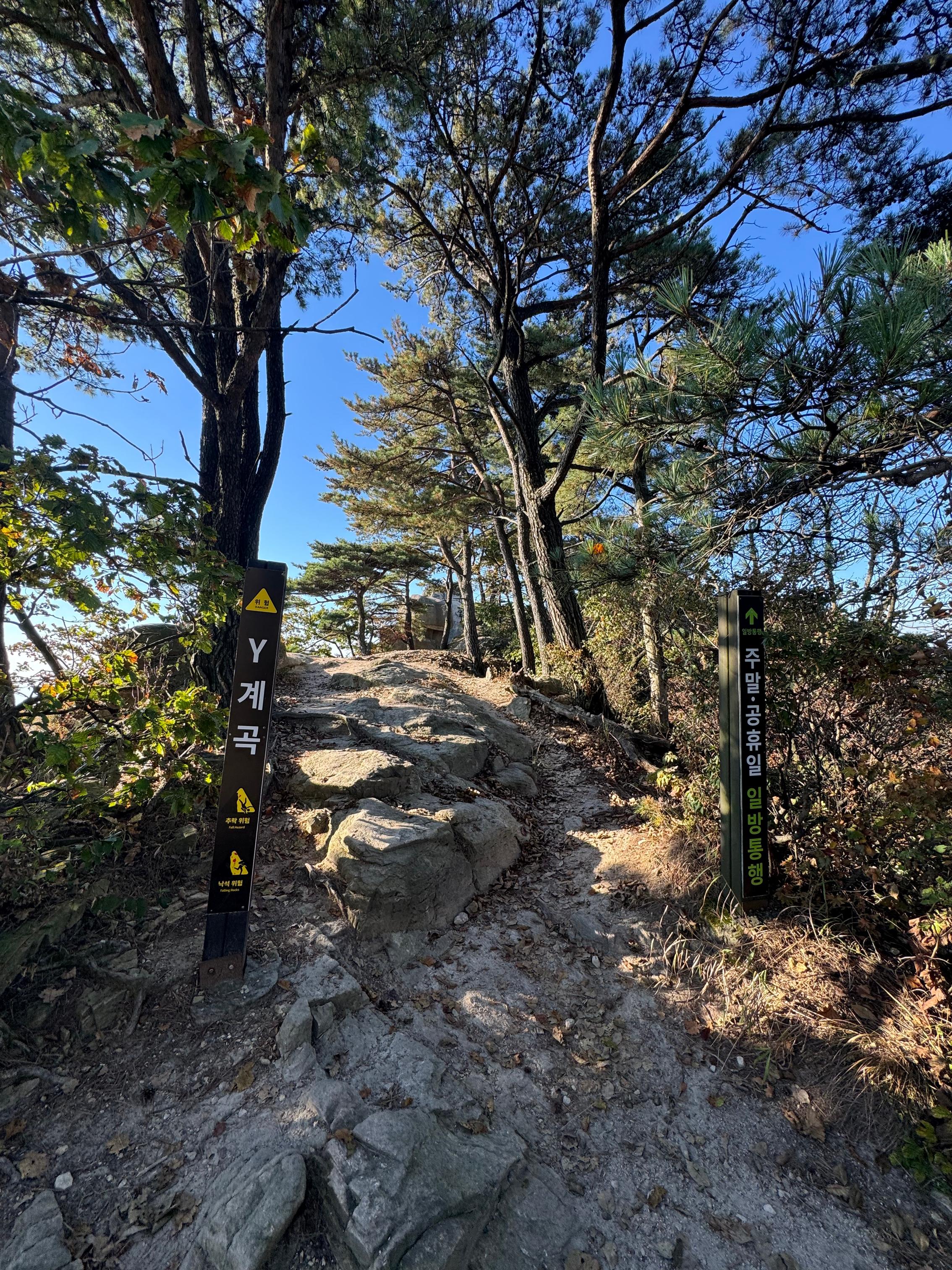
The weather was great that day, and we wore hiking boots with good grip, so we chose the Y Valley route.
After some thrilling sections,
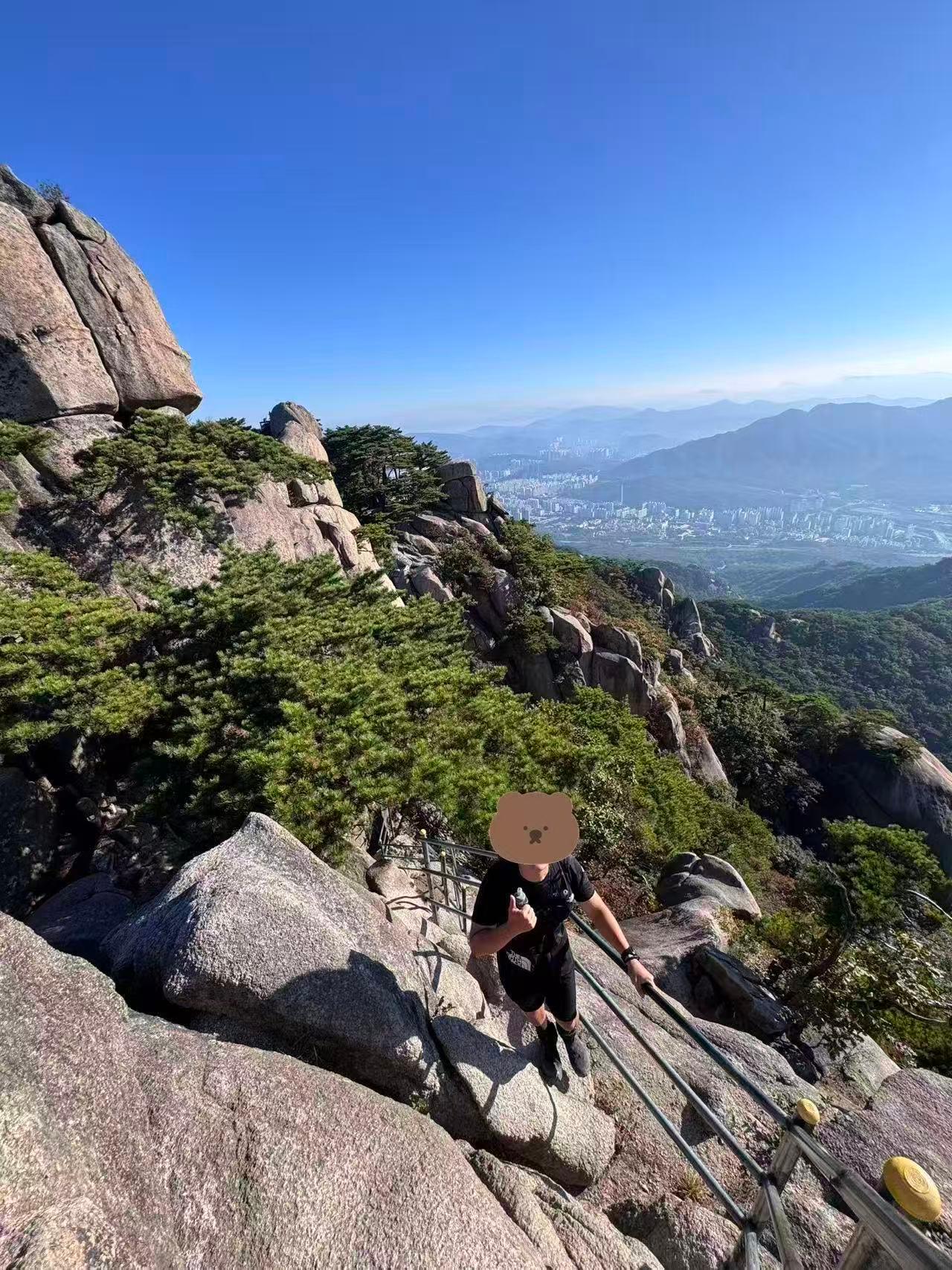
once you finish Y Valley, you walk a bit more on stairs, then climb a short rock face,
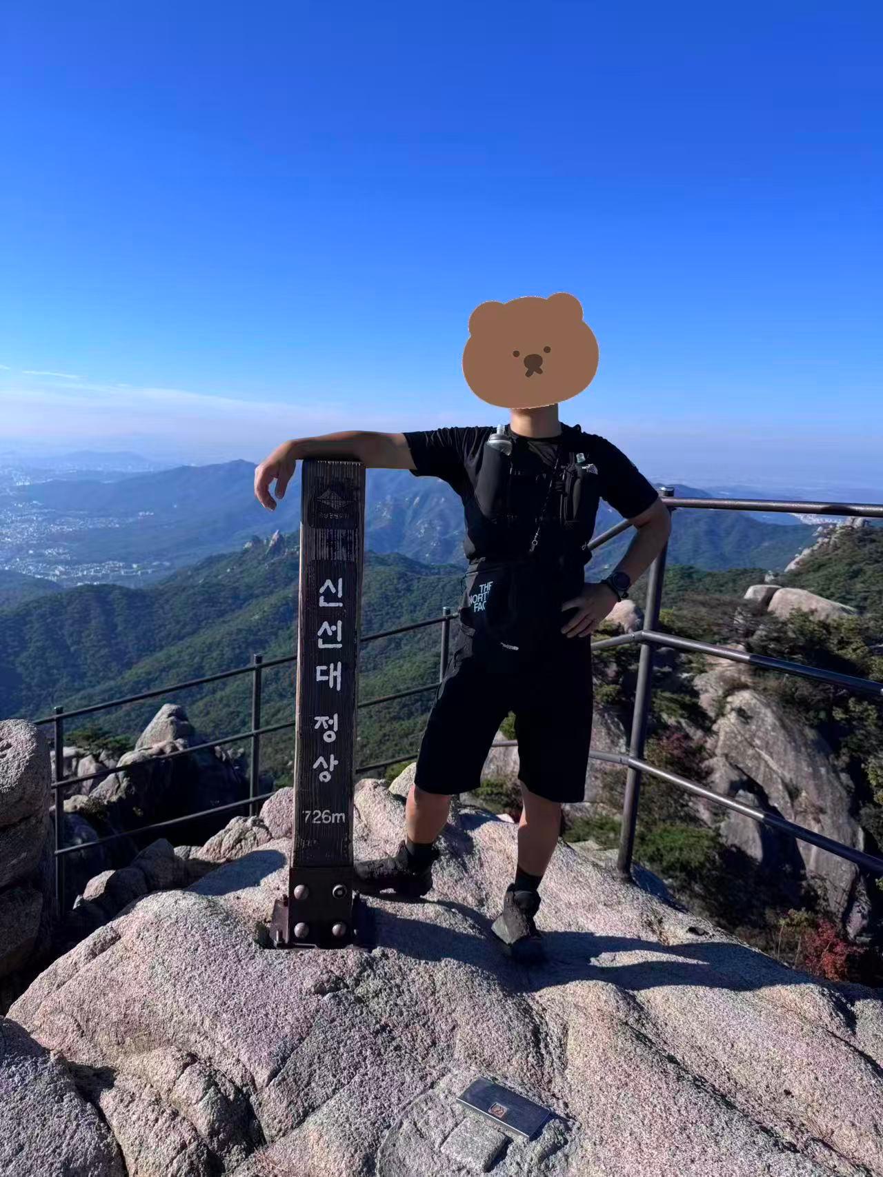
and you’ll arrive at the highest point of this section, Sinsundae. Coming slowly from Sapaesan, it takes about 1.5 hours to reach here.
From here you can look out over Seoul. With great weather and clear visibility that day, we could see the Lotte World Tower, as well as N Seoul Tower.
After descending into an open wooded area, we took a short break for snacks, then continued downhill.
We followed the signs toward the Dobong Visitor Support Center, and the scenery along the way was well worth stopping for photos.
After about 1 hour,
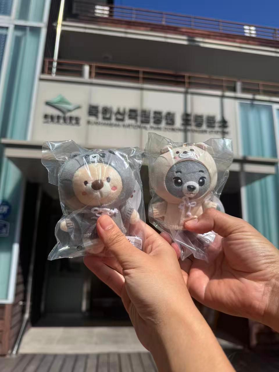
we arrived at the Dobong Visitor Support Center to redeem the small souvenir we reserved through Creatrip, wrapping up a wonderful morning.
🙇♀️Closing thoughts
Compared with Bukhansan Baegundae, this route and scenery feel different. It’s well worth a visit even if you’ve already been to Baegundae.
The route is clear and the trail is easy to follow, but you still need to pay attention to your condition and supplies. If the weather is poor, it’s recommended to change your plan.
Looking forward to my next mountain trip in Korea.