
How to Read the Seoul Metropolitan Subway Map Without Getting Lost
Official map sources, airport trains, fares, premium lines, and the small map-reading habits that make Seoul’s metro much easier to use.

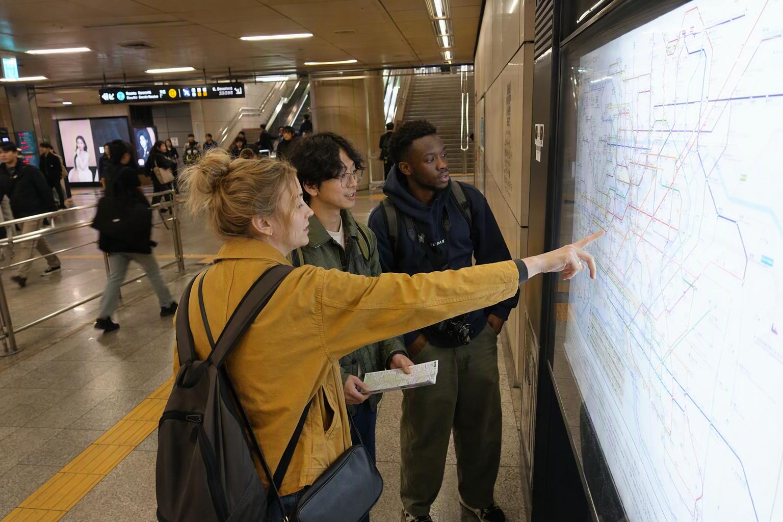
Seoul’s Subway Map Looks Intense — But It’s Very Usable Once You Know What You’re Looking At
Seoul’s metro map can feel like a bowl of colorful noodles at first glance. That reaction is fair: the Seoul Metropolitan Subway is not just a city subway. By 2026, the wider metropolitan rail network spans around 24 lines, more than 650 stations, and roughly 1,300 km of track, connecting central Seoul with Incheon, Gyeonggi-do, airport terminals, satellite cities, and high-speed commuter corridors.
The good news is that most visitor trips happen on a much smaller mental map: Lines 1–9, AREX, Shinbundang, and a few Korail commuter lines such as Gyeongui–Jungang or Suin–Bundang. Once you stop trying to memorize the whole thing, the map becomes much friendlier.
At Creatrip, we like to think of the Seoul subway map in layers: the everyday city lines, the airport line, the fast premium lines, and the outer commuter branches. Read it that way, and it starts to look less like homework and more like one of Seoul’s best travel tools.
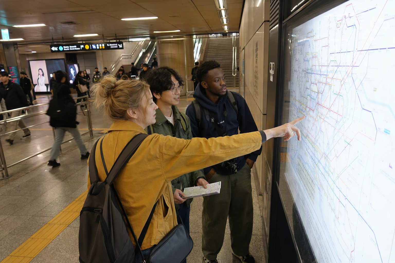
“Seoul MRT” Is Usually Called the Seoul Subway or Seoul Metro
International travelers often search for “Seoul MRT,” especially if they’re used to Singapore, Taipei, or Bangkok. In Korea, people usually say subway, metro, or Seoul Metropolitan Subway instead.
So when searching online, the terms that tend to work best are:
- Seoul subway map English
- Seoul Metro map
- Seoul Metropolitan Subway map
- Seoul Metro Cyber Station
- AREX Seoul Station Incheon Airport
The map itself is multilingual in many official formats, and station signage commonly uses line colors, station numbers, and English station names, which helps a lot when Korean place names start blending together after a long travel day.
The Best Seoul Subway Map Sources for Travelers
There are several official and semi-official map versions floating around online. Some are old PDFs that still rank in searches, so it is worth being a little picky.
1. Seoul Metro’s official multilingual subway map
Seoul Metro publishes an official four-language subway map package in Korean, English, Chinese, and Japanese through Korea’s public data portal. The latest listed package is dated 2025-12-08, with the next annual update scheduled for 2026-12-08.
This official Seoul Metro map package is useful because it reflects Seoul Metro’s own network information and is updated on a regular annual cycle. Seoul Metro operates Lines 1–8, with some sections excluded, and Line 9 phases 2–3, so this source is especially reliable for the core city subway layer.
A small but important note: Seoul’s full metropolitan rail network is bigger than Seoul Metro alone. Lines operated by Korail, AREX, Incheon Transit, NeoTrans, and other operators may appear differently depending on the map source. For most travelers, that means one thing: use the official map for orientation, but check your actual route in a planner before moving across the city.
2. Seoul’s tourism-oriented English map
The Seoul Metropolitan Government also provides tourism maps in English, including recent tourist map PDFs that embed a “latest Seoul Metro map” and area maps for major districts such as City Hall, Jongno, Dongdaemun, Apgujeong, Gangnam, and Samseong.
These are easier to read when your trip is built around sightseeing neighborhoods rather than rail operations. They also tend to include airport train information and tourist services, which makes them more approachable than a pure railway diagram.
3. Seoul Metro Cyber Station
For actual routing, Seoul Metro’s Cyber Station is one of the most useful official tools. The English version lets you search stations and routes, then compare options by:
- Minimum travel time
- Shortest distance
- Fewest transfers
- Fare estimates by transport card or single-use ticket
- Last train times
- Transfer information
It even includes CO₂ emissions information, which is a very Seoul-style detail. The main practical value, though, is simple: static maps show the system, but Cyber Station helps you decide which route makes sense today.
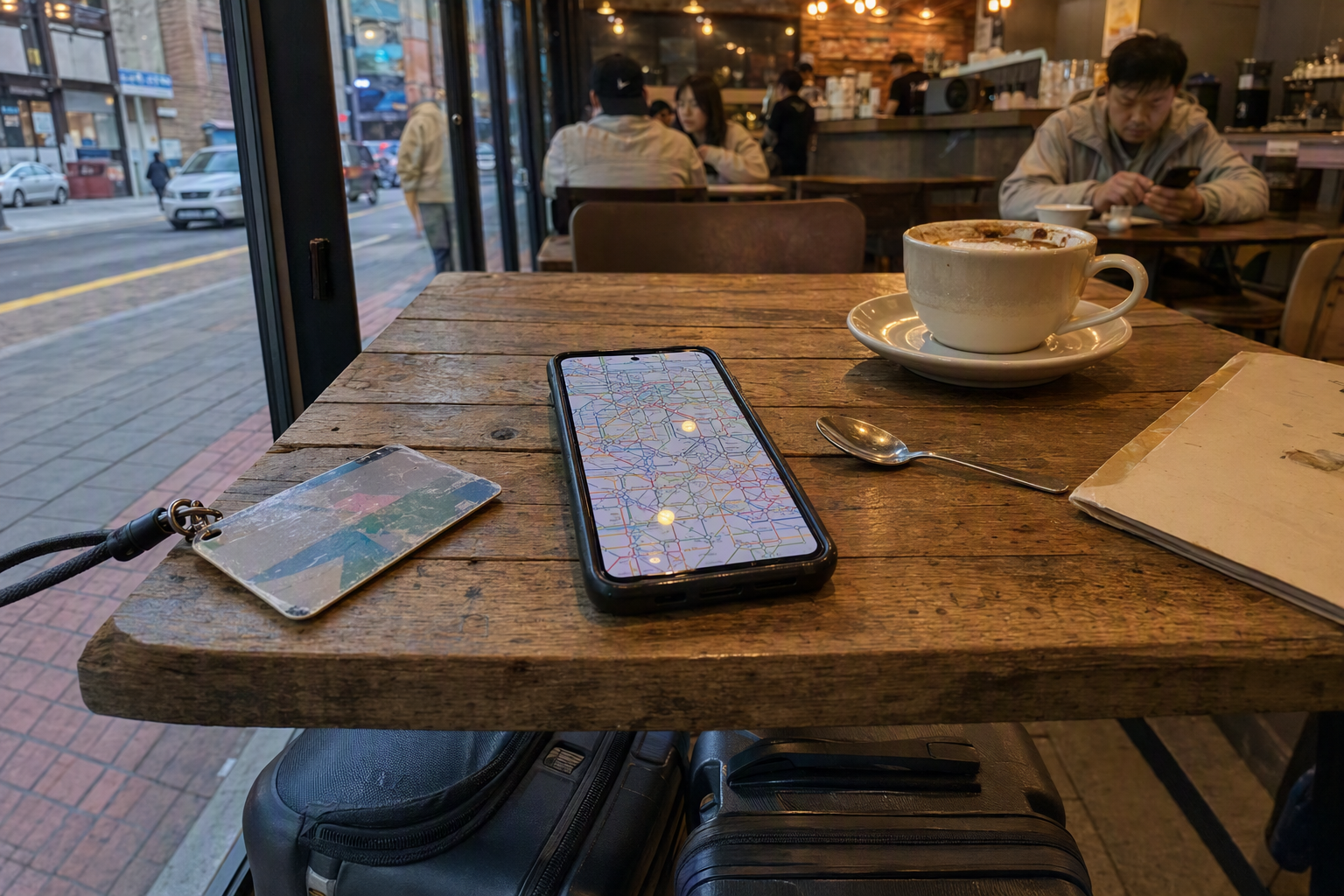
Be Careful With Old Map PDFs
Older English map PDFs from around 2016 and 2018 are still easy to find online. They can be helpful for understanding the classic line-color system, but Seoul’s network has changed a lot since then.
Recent map updates include major changes such as GTX-A, the Line 8 extension to Byeollae, and the Incheon Line 1 extension, along with other ongoing metropolitan rail expansions. Seoul’s subway map also received a major redesign in the 2020s after decades of older visual conventions.
Old screenshots are fine for nostalgia. For travel, use a current official map or route planner.
How to Read the Seoul Subway Map Like a Local Traveler
Start with line colors, then station numbers
Each line has its own color, and numbered subway lines are the easiest to follow: Line 2 is green, Line 4 is blue, Line 9 is gold, and so on.
Official English map formats also use three-digit station codes. A station code like 424 means Line 4, station 24 on that line. This is especially helpful when station names look similar, or when you’re trying to confirm that you’re moving in the right direction.
We recommend saving station numbers for your hotel, your nearest transfer station, and your airport connection. Station names are useful; station numbers are calmer.
Seoul’s subway is a network of operators, not one single company
The map may look unified, but several operators are involved. Key operators include Seoul Metro, KORAIL, AREX, Incheon Transit, NeoTrans, and private Line 9 operations.
For travelers, this usually does not matter much when tapping in and out with a transport card. The Seoul metropolitan area uses an integrated distance-based fare system across most ordinary subway and rail routes. But it does matter on special or premium services, where extra fares or separate ticketing rules can appear.
Use “fewest transfers” when carrying luggage
Cyber Station and other route planners may offer several route types. The fastest route is tempting, but with suitcases, shopping bags, or tired legs, fewest transfers can feel much better than shaving off a few minutes.
This is especially true when crossing Seoul diagonally or connecting from AREX to another line after a long flight.

The Lines Travelers Use Most
Line 2: The green loop for classic Seoul neighborhoods
Line 2 is the famous loop line that links many popular areas. It is often part of routes to university districts, shopping neighborhoods, business zones, and nightlife areas. Because it circles the city, it can look deceptively simple on the map — but check direction carefully before boarding, since going the wrong way around the loop can waste time.
Lines 1–4: The older backbone
Lines 1–4 run through many traditional central areas and major transfer stations. They are useful for classic Seoul sightseeing routes, but they can also be busy and branch-heavy, especially Line 1. When a line splits toward outer destinations, the terminal direction matters more than the line color alone.
Line 9: The fast southern corridor
Line 9 runs along the southern side of the Han River and is known for its express service pattern. The line is about 40.6 km long with 38 stations, and its express trains stop at fewer stations along the route.
The small travel trick: check whether your train is Express or All-Stop before boarding. Express service can save time, but it will skip some stations. On a first Seoul trip, this is one of the easiest places to accidentally overshoot your stop.
Shinbundang Line: Fast, convenient, and pricier
The Shinbundang Line is a high-speed, driverless premium metro line connecting areas such as Gangnam and Pangyo very quickly. Travel between Gangnam and Pangyo is often described at around 14–15 minutes, much faster than many road options.
The trade-off is fare. Shinbundang adds a private-line surcharge on top of the standard metro fare, with the surcharge varying by section. Recent fare tables have shown section surcharges roughly in the hundreds to low thousands of won range, so a Shinbundang trip can feel noticeably more expensive than a normal subway ride.
For travelers staying around Gangnam and heading toward Pangyo, Jeongja, or Gwanggyo, it can be worth it. For a short casual ride, check the fare before tapping in.
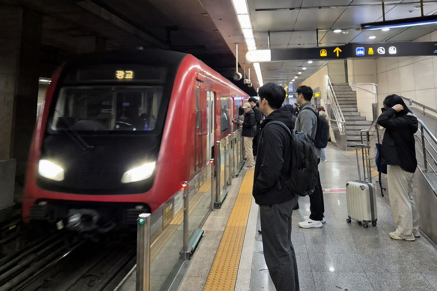
GTX-A: High-speed commuter rail, not a normal subway ride
GTX-A is one of the biggest changes on newer metropolitan rail maps. It is a deep-level, high-speed commuter rail service designed for longer-distance travel across the Seoul capital region. Staged openings began in the mid-2020s, with central Seoul connections developing through 2026.
GTX-A uses a higher fare structure than ordinary subway rides. Recent fare information has listed a base GTX-A fare around ₩3,200, with additional distance charges after 10 km. It can be very fast — examples such as Suseo–Dongtan are often discussed around the 20-minute range — but it is not the same budget experience as a regular metro trip.
For most first-time visitors staying inside central Seoul, GTX-A will not be an everyday line. It matters more if your accommodation, event, or business destination is near a GTX-A station.
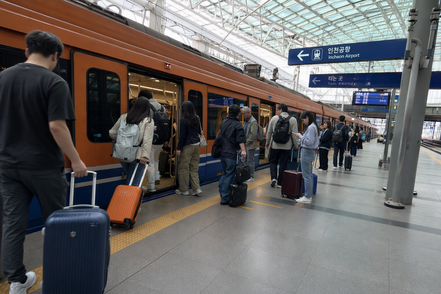
Airport Trains on the Map: AREX Express vs AREX All-Stop
AREX is one of the most important lines for international travelers because it connects Incheon International Airport Terminal 1 and Terminal 2 with Seoul.
On the map, AREX is integrated into the rail network, but there are two very different services.
AREX Express Train
The AREX Express Train runs nonstop between Incheon Airport and Seoul Station. Current official-style travel times are typically listed as:
- Incheon Airport T1 ↔ Seoul Station: about 43 minutes
- Incheon Airport T2 ↔ Seoul Station: about 51 minutes
As of 2026, the official adult one-way fare is commonly listed at ₩13,000, with a child fare of ₩9,500. Online discount tickets are often sold for slightly less, but prices and promotions change, so check the official AREX site or your booking platform before purchasing.
The Express Train uses reserved-seat tickets or QR-style boarding. It does not work like a normal T-money subway ride, and T-money or Climate Card-style tapping is not accepted at the Express gates. Missing a reserved train may also involve a reissue fee depending on the ticket conditions.
This is the cleaner choice if you want a seat, have heavy luggage, and are going directly to Seoul Station.
AREX All-Stop Train
The AREX All-Stop Train is cheaper and behaves much more like a regular subway. It stops at intermediate stations such as Gimpo Airport, Digital Media City, Hongik University, and Gongdeok before reaching Seoul Station.
Typical travel times are around 59–66 minutes between Seoul Station and Incheon Airport, with trains running more frequently than the Express service. Recent fare examples have been around ₩4,750 to T1 and ₩5,350 to T2 from Seoul Station, with slightly different figures depending on payment method and route.
The All-Stop Train accepts transport cards at the regular gates and is often the better choice if your destination is Hongdae, Gongdeok, Digital Media City, or anywhere that avoids backtracking from Seoul Station.
Which airport train feels better?
Choose AREX Express if:
- You are going straight to Seoul Station
- You want a reserved seat
- You have large luggage
- The next departure time lines up well
Choose AREX All-Stop if:
- You are heading to Hongdae, Gongdeok, DMC, Gimpo Airport, or western Seoul
- You want to use T-money
- You prefer lower cost over a 15–20 minute time saving
- You do not want to wait for a less frequent reserved train
One common mistake is buying the Express because it sounds automatically faster, then transferring back across the city from Seoul Station. Door-to-door, the All-Stop can be smoother for many hotel locations.
Seoul Subway Fares: The Simple Version
Seoul’s fare system is distance-based and integrated across most metro and bus routes when using a transport card such as T-money.
As of the post-2025 fare update, the adult subway base fare is generally ₩1,550 by transport card for the basic distance. After 10 km, distance surcharges apply, commonly ₩100 per 5 km up to 50 km, then ₩100 per 8 km beyond that.
Single-use tickets usually cost more than transport card fares and include a refundable deposit. Recent fare structures list a ₩500 deposit and a ₩100 single-ticket surcharge.
Children, youth, seniors, and eligible groups may have different fare rules, while certain premium lines and services charge extra. Fare systems can change, and Seoul has had recent increases, so avoid relying on old guide pages that still quote the former ₩1,250 base fare.
Premium fare lines to watch
Extra charges may apply on lines or services such as:
- Shinbundang Line
- AREX Express Train
- GTX-A
- Some light rail or privately operated routes, depending on section and fare rules
The map will not always make the price difference obvious. Route planners and gate displays are more reliable than guessing from line color.
Last Trains, Early Trains, and Late-Night Planning
Seoul’s subway is excellent, but it is not 24 hours. Seoul Metro’s Cyber Station provides last train information, which is worth checking before late dinners, concerts, or airport transfers.
AREX operating information has been listed around early morning to late night service, with Express departures from the airport side beginning around 05:15–05:23 and ending around 22:40–22:48, depending on terminal and direction. All-Stop trains generally run more frequently, but airport rail schedules should always be checked close to your travel date.
There has also been an early-morning subway discount before 06:30 in recent Seoul fare information, reducing the adult fare by 20%. Handy for very early starts, but not something to build an airport plan around without checking current rules.
A Traveler’s Map Strategy That Actually Works
For a first Seoul trip
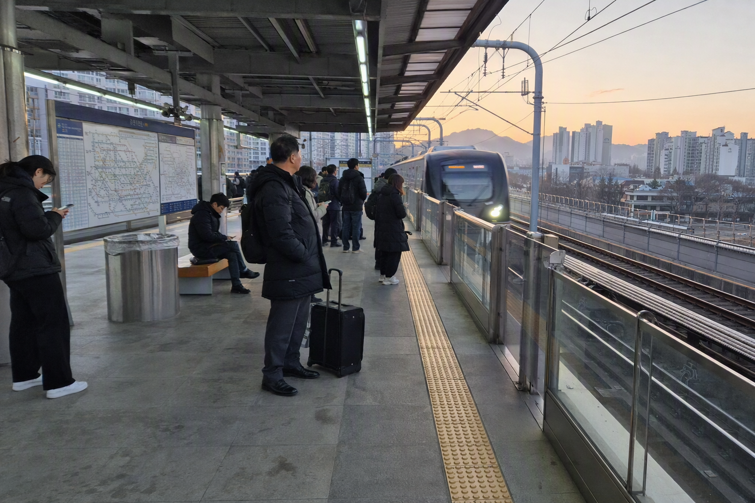
Use a current English subway map for orientation, then route each journey through Seoul Metro Cyber Station or a current transit planner. Focus on your hotel’s nearest station, the airport route, and two or three key transfer stations. That is enough.
For airport arrivals
Decide between AREX Express and AREX All-Stop based on your final neighborhood, not just the airport-to-Seoul Station time. Hongdae-area travelers often benefit from the All-Stop. Seoul Station-area travelers may appreciate the Express.
For Gangnam and south-of-the-river travel
Watch for Line 9 Express and Shinbundang. Both can be fast, but they work differently: Line 9 has express patterns, while Shinbundang may add a surcharge.
For day trips outside Seoul
The metropolitan map includes commuter rail branches reaching far beyond the city center. Check the destination carefully, especially on lines with branches or shared tracks. The same line color does not always mean every train goes to the same final station.
For accessibility and station facilities
Seoul Metro provides station guide maps for its operated stations, including information such as emergency evacuation routes, restrooms, elevators, and escalators. First and last train times may not be printed on every station guide image because schedules change, so use live or official timetable tools for timing.

Small Mistakes That Make Seoul’s Subway Harder Than It Needs to Be
Saving a random old map screenshot
A 2016 or 2018 English PDF may still look official, but newer lines and extensions may be missing. Use recent official maps, tourism PDFs, or route planners.
Treating every rail line as the same price
Most ordinary trips work beautifully with T-money, but premium services like Shinbundang, GTX-A, and AREX Express can cost more or require different ticketing.
Confusing AREX Express gates with All-Stop gates
AREX Express is a reserved-seat product. AREX All-Stop is the subway-style service. The ticketing and gates are different, and T-money is for the All-Stop side.
Choosing the fastest route with luggage
The fastest route on paper can involve more transfers. With suitcases, fewer transfers often wins.
Ignoring station numbers
Station names are useful, but station codes are your best friend when a place name is long, similar, or pronounced differently than expected.
Final Creatrip Note
The Seoul Metropolitan Subway map is huge because Seoul is huge — not just as a city, but as a connected capital region. For travelers, the trick is not to understand every line. It is to know which map is current, which lines charge extra, and which airport train fits your actual destination.
Save a recent English map, use Seoul Metro Cyber Station for route checks, and keep an eye on station numbers. After a day or two, the colorful tangle starts to feel less intimidating — and much more like Seoul itself: fast, layered, and surprisingly efficient once you find your rhythm.