
The Seoul Map Visitors Actually Need: Tourist Maps, Subway Lines, Districts, and Digital Tools
A Creatrip-style guide to choosing the right Seoul city map before you land, from the official 2026 tourist PDF to subway maps, paper guides, and district basics.

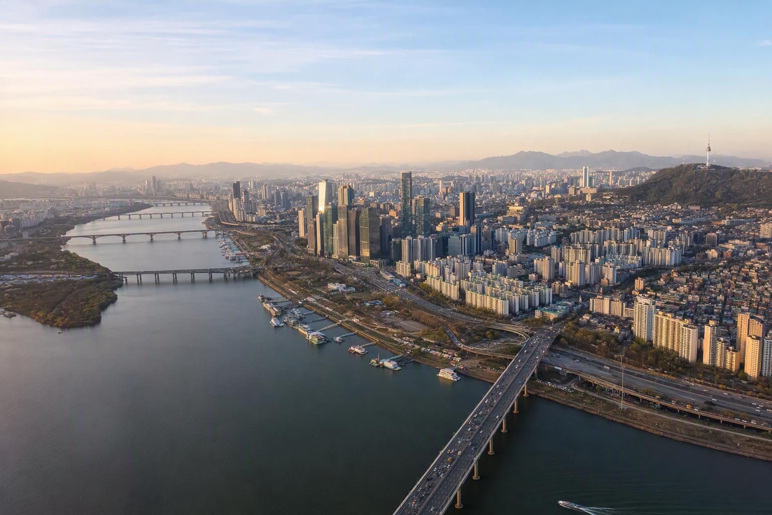
Searching for a “Seoul city map” sounds simple until Seoul hands you three different answers at once: a tourist map with palaces and shopping streets, a subway map that decides how your day actually moves, and an administrative map full of districts and neighborhood names that don’t always match the way locals talk about an area.
For most travelers, the best setup is refreshingly simple: download the official 2026 English Seoul tourist map, keep a subway map handy, and use a real-time navigation app once you’re on the ground. Add a paper map from a tourist information center if you like seeing the whole city spread out in front of you over coffee.
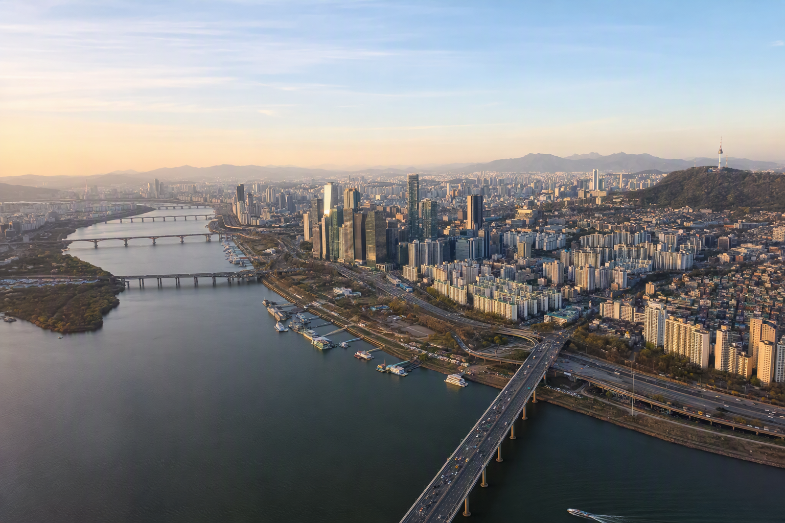
The Seoul map most visitors should download first
The current official English tourist map to look for is the 2026 Seoul Tourist Map (ENG) from the Seoul Metropolitan Government. It was issued on 2026-03-11 and is distributed through Seoul’s official English brochure pages. The PDF is light enough to keep on your phone, listed at around 5.07 MB, and it’s built in the way a visitor actually reads the city.
The map is arranged across two pages:
- Page 1 gives you the big picture: central Seoul, the wider Gyeonggi-do area, A’REX Airport Railroad information, and an index of performance and cultural spaces.
- Page 2 is the practical travel page: the Seoul subway map plus detailed area maps for City Hall–Jongno–Dongdaemun, Apgujeong, Gangnam, and Samseong.
That combination is why we like it for a first Seoul trip. It does not try to replace live navigation, but it does help you understand how the city is shaped: the historic center north of the Han River, the airport rail spine running into town, and the dense commercial pockets around Gangnam and Samseong.
The official page to check is Seoul’s English brochure archive or the dedicated 2026 tourist map page: english.seoul.go.kr/2026-seoul-tourist-mapeng/. Seoul updates tourism materials regularly, so it’s worth downloading the newest version close to your travel date rather than relying on a saved PDF from an old blog post.

Paper maps still have a place in Seoul
We love a clean digital map, but Seoul is one of those cities where a folded paper map can still be oddly satisfying. It gives you a sense of scale that a phone screen can’t: how Jongno sits near the palace area, how Myeongdong and Namdaemun relate to Seoul Station, and why Gangnam and Samseong are close on a map but not always a casual stroll apart.
Visit Seoul and the Seoul Tourism Organization distribute official tourism materials as both downloadable PDFs and printed resources at Seoul tourist information centers. The printed materials are available in five languages: Korean, English, Japanese, Simplified Chinese, and Traditional Chinese.
The two main formats are:
- Seoul Tourist Guidebook: booklet style, 132 × 195 mm, 98 pages
- Seoul Tourist Map: double-sided folded map, 770 × 535 mm when opened, 110 × 179 mm when folded
If you’re the kind of traveler who likes circling neighborhoods or planning over breakfast, pick one up after arrival. Groups and institutions can also request bulk materials through Visit Seoul, but shipping details and processing schedules can change, so check the official Visit Seoul map and guidebook page for the latest procedure: english.visitseoul.net/map-guide-book/form.

Why the subway map matters more than the road map
Seoul is huge, but for visitors, it often feels like a network of station areas. Your hotel, the palace you want to see, the shopping street you saved, the café your friend sent you — the real question is usually not “Which district is this in?” but “Which subway line gets me there without a painful transfer?”
The Seoul tourist map includes the major rail layers travelers use most often: subway Lines 1–9, A’REX, Suin-Bundang Line, Shinbundang Line, Gyeongui-Jungang Line, Gyeongchun Line, Ui-Sinseol Line, Sillim Line, plus railway stations and transfer stations.
The wider Seoul metropolitan subway system is large — described in recent official transport information as covering 24 lines, 656 stations, and more than 1,300 km. Typical service runs roughly from 05:30 to midnight, and trains can arrive every 2–3 minutes during peak times. Late-night, holiday, and end-of-line schedules can vary, so use live transit information for the exact last train.
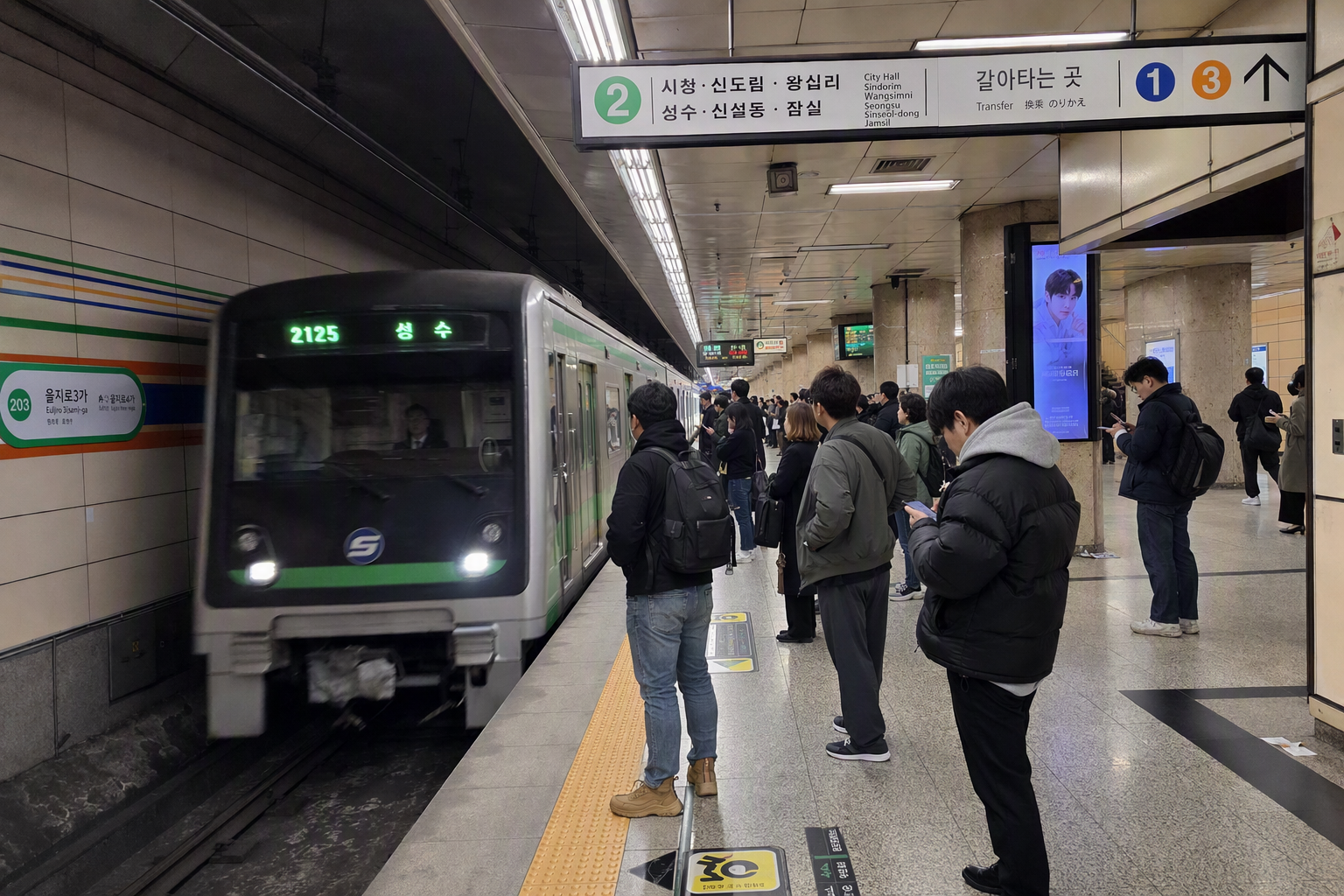
A quick note on subway fares
Seoul transit fares do change, and older tourism pages may still show older numbers. As of the official fare update from 2025-06-28, the basic adult subway fare within 10 km is listed as:
- Adult transportation card fare: ₩1,550
- Adult single-use ticket: ₩1,650
- Youth basic fare: ₩900
- Child basic fare: ₩550
For subway-only travel, the basic fare applies up to 10 km. After that, the extra distance fare is ₩100 per 5 km from 10–50 km, then ₩100 per 8 km beyond 50 km.
Seoul’s metropolitan transfer discount is also generous when used properly. Transfers are generally recognized within 30 minutes after tapping out, or within 60 minutes from 21:00 to 07:00, with up to 4 transfers / 5 rides. Still, fares are one of those details we always suggest checking close to departure, especially if you’re budgeting for a longer stay or traveling with kids.
A’REX: the airport rail line to understand before arrival
The A’REX Airport Railroad is one of the most useful lines to spot on any Seoul travel map. The official tourist map marks A’REX service hours as 05:15–23:50 and shows the key airport-to-city links through:
- Incheon International Airport Terminal 1
- Incheon International Airport Terminal 2
- Gimpo International Airport
- Magongnaru
- Digital Media City
- Hongik Univ.
- Gongdeok
- Seoul Station
This is especially helpful if you’re staying near Seoul Station, Hongdae / Hongik University, Gongdeok, or Digital Media City. A map that clearly shows A’REX saves a lot of arrival-day confusion, particularly when you’re tired, holding luggage, and trying to decide whether your hotel area is better reached by train, subway transfer, or another airport transport option.

Reading Seoul like a traveler, not like a government map
Officially, Seoul is divided into 25 autonomous districts, called gu. This is useful for understanding the city at a broad level, but it doesn’t always match the way travel days unfold. A visitor’s mental map of Seoul is usually made of station clusters, shopping streets, palace areas, river crossings, and food neighborhoods.
The official 2026 tourist map’s detailed zoom areas tell you a lot about where visitors tend to need extra clarity: City Hall–Jongno–Dongdaemun, Apgujeong, Gangnam, and Samseong. These are dense areas where landmarks, subway exits, underground malls, bus stops, and walking routes can overlap quickly.
A more natural visitor map of Seoul might look like this:
Historic center: City Hall, Jongno, Gwanghwamun, palaces
This is where Seoul’s old and modern faces sit close together: palace areas, major boulevards, museums, Insadong, Bukchon, Cheonggyecheon, and the civic center around City Hall. It’s one of the easiest parts of Seoul to enjoy with a paper map because many places are visually connected by streets, streams, walls, and gates.

Dongdaemun and the east-central shopping axis
Dongdaemun works best when you think of it as a shopping and market zone rather than just a single point on a map. The area can feel different by day and night, and subway exits matter. A district map alone won’t help much here; use the detailed tourist map and a live route tool together.
Hongdae, Sinchon, Yeonnam, and Mapo
This west and northwest side of central Seoul is tied closely to youth culture, cafés, restaurants, nightlife, university areas, and the airport railroad corridor. On a broad Seoul map, it may look slightly removed from the historic center, but by subway or A’REX-linked routes it can be very convenient.

Seoul Station, Namsan, Myeongdong, Namdaemun
This is the gateway-and-shopping cluster many visitors pass through early in their trip. Seoul Station connects long-distance rail, airport rail, and subway routes; nearby areas like Myeongdong and Namdaemun are easier to understand when you look at both the street map and subway exits.
Gangnam, Apgujeong, Sinsa, Samseong
“Gangnam” is one of the easiest Seoul map words to misunderstand. It can mean Gangnam-gu, the official district; the broader commercial area south of the Han River; or the area around Gangnam Station specifically. Apgujeong, Sinsa, COEX, and Samseong are all part of the wider Gangnam-side travel picture, but they are not interchangeable on foot.
The official tourist map gives separate zoom attention to Apgujeong, Gangnam, and Samseong for a reason. They are close enough to combine in a day with transit, but spread out enough that a casual “let’s just walk over” plan can become tiring.

Seoul’s 25 districts: useful, but not the whole story
For a broad city map, Seoul’s 25 gu are the cleanest administrative layer. The official Seoul district information page lists all 25 districts with population, area, number of neighborhoods, foreign resident count, attractions, and district office websites.
A few scale markers help:
- Songpa-gu has the largest population in the official January 2025 district data, with 657,991 people.
- Jung-gu has the smallest population, with 131,589 people.
- Seocho-gu is the largest by area, at 46.98 km².
- Jung-gu is the smallest by area, at 9.96 km².
For travelers, district maps are best for orientation and hotel decisions, not minute-by-minute routing. A hotel in the “right” district can still be awkward if it’s far from the subway line you need. A hotel outside the most famous district name can be excellent if it sits on a convenient line with simple transfers.
There’s also a deeper neighborhood layer. Seoul officially has 427 administrative dongs and 467 legal dongs, updated in the city’s official neighborhood table as of 2025-08-18. These matter for addresses, administration, mapping, and local government services. For a visitor, they mostly explain why neighborhood names on signs, addresses, booking platforms, and maps don’t always line up perfectly.
The digital Seoul tourist map is worth opening too
Seoul also operates a digital Seoul Tourist Map through map.seoul.go.kr. The city launched this digital tourism map service in late 2024 for domestic and international visitors, with information on attractions, popular places, and interactive routes for Seoul guided walking tours.
The best way to use it is as a companion to the PDF map. The PDF is calm and easy to save offline. The digital map is better when you want interactive context, walking route ideas, or a more flexible look around a neighborhood.
There’s also Smart Seoul Map / SMGIS, Seoul’s official interactive map system. It includes useful boundary layers such as legal dong boundaries, administrative dong boundaries, and district boundaries, with background map options in Korean, English, Japanese, and Simplified Chinese, plus aerial imagery and large-text map options.
For travelers, that means Smart Seoul Map is helpful when you want to double-check how an area is officially labeled. For legal, real estate, zoning, or parcel-level decisions, treat online map layers as reference only and verify through the relevant official records.
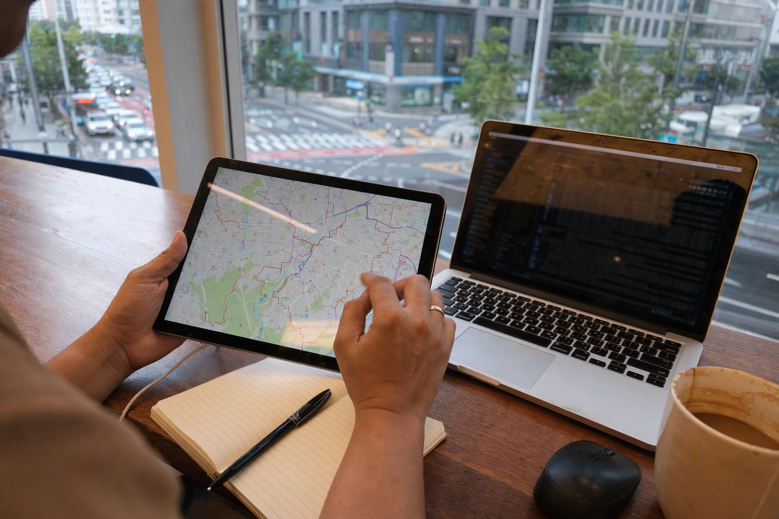
Common Seoul map mistakes to avoid
Saving only a beautiful map, not a useful one
A pretty Seoul district illustration is nice for understanding where the Han River and major areas sit, but it won’t tell you which subway exit saves you ten minutes. Keep the official tourist PDF for the big picture, then use live navigation for the exact walking route.
Treating “Gangnam” as one small place
Gangnam can mean a district, a commercial zone, or one station area. Apgujeong, Sinsa, Gangnam Station, COEX, and Samseong can belong to the same broad travel day, but they are not all next door to each other.
Ignoring airport rail until arrival
After a long flight, the A’REX line is much easier to understand if you’ve already seen it on a map. Check whether your accommodation is near Seoul Station, Hongik Univ., Gongdeok, Digital Media City, Magongnaru, or Gimpo Airport before deciding how you’ll enter the city.
Using outdated fare screenshots
Seoul fares changed in 2025, and older pages can still circulate. For a rough travel budget, the current adult card base fare is ₩1,550, but always verify current Seoul transit fare information before you go.
Choosing accommodation by distance alone
Two places can look close on a city map but require an awkward transfer. The opposite is also true: a hotel farther away may be easier if it sits on a direct line to the areas you care about.
For travelers who need a more technical Seoul city map
Most visitors won’t need GIS files, but some travelers arrive with a project: building a custom map, checking districts for content work, studying urban planning, or preparing a location-based itinerary with more precision.
For that kind of work, it helps to know which official map source does what.
Smart Seoul Map / SMGIS
Best for official interactive reference, multilingual map checking, tourist layers, POI context, and visual confirmation of district or dong boundaries. It also offers OpenAPI documentation for multilingual map services, POI, address and coordinate conversion, map tagging, themes, and content services.
Use it as a strong reference tool, not as the only source for production GIS boundaries.
VWorld / Ministry of Land, Infrastructure and Transport
Best for official nationwide administrative and legal boundary data, including SHP and WMS/WFS layers. This is the better direction when you need authoritative geometry for city or district boundaries.
JUSO / Road Name Address system
Best when you need frequently updated administrative dong boundary data tied to Korea’s address system. The administrative dong layer often appears under the file pattern known as TL_SCCO_GEMD.
SGIS / KOSTAT
Best for census-compatible and statistical boundary work. If population statistics and historical administrative boundary comparisons matter, SGIS is usually the safer fit than a tourism map.
Seoul Urban Planning / City Spatial Portal
Best for parcel, address, land-use, zoning, district unit plans, urban planning facilities, notices, and official planning documents. Online map displays are still reference tools; legal or property decisions need official documents and the relevant authority.

The map combo we’d actually use
For a short Seoul trip, keep it light:
- Official 2026 English Seoul Tourist Map PDF for the city overview
- Subway map for daily movement
- A’REX information for airport arrival and departure
- Live navigation or transit app for exact routes, exits, timing, and transfers
For a slower trip with cafés, shopping, and neighborhood wandering:
- Add the Visit Seoul folded paper map
- Use the digital Seoul Tourist Map for attractions and walking-route ideas
- Check detailed neighborhood maps around Jongno, Dongdaemun, Apgujeong, Gangnam, and Samseong
For map lovers, creators, or anyone doing location research:
- Use Smart Seoul Map for official visual checking
- Use VWorld, JUSO, or SGIS depending on whether you need legal boundaries, administrative dongs, or statistical geography
- Record the source, date, coordinate system, and boundary type, especially if the map will be published
A final Seoul map note from Creatrip
The most useful Seoul map is not the one with the most labels. It’s the one that matches the decision in front of you.
Choosing a hotel? Look at districts, subway lines, and airport access together. Planning a palace-and-market day? Use the tourist map’s central Seoul detail. Heading from Incheon Airport to Hongdae or Seoul Station? Find A’REX first. Trying to understand why an address name and a neighborhood name don’t match? That’s probably the dong system doing its quiet administrative work in the background.
Download the official map, pick up a paper one if you like the feel of it, and let the subway map become your real Seoul compass. The city is big, but once the rail lines and neighborhood clusters click, it starts to feel wonderfully navigable.