Seoul Subway Map for Travelers: Official Metro Maps, Routes, Fares & Airport Trains
A Creatrip editor’s practical way to read the Seoul metro map, choose the right route app, and avoid the little mistakes that make transfers harder than they need to be.


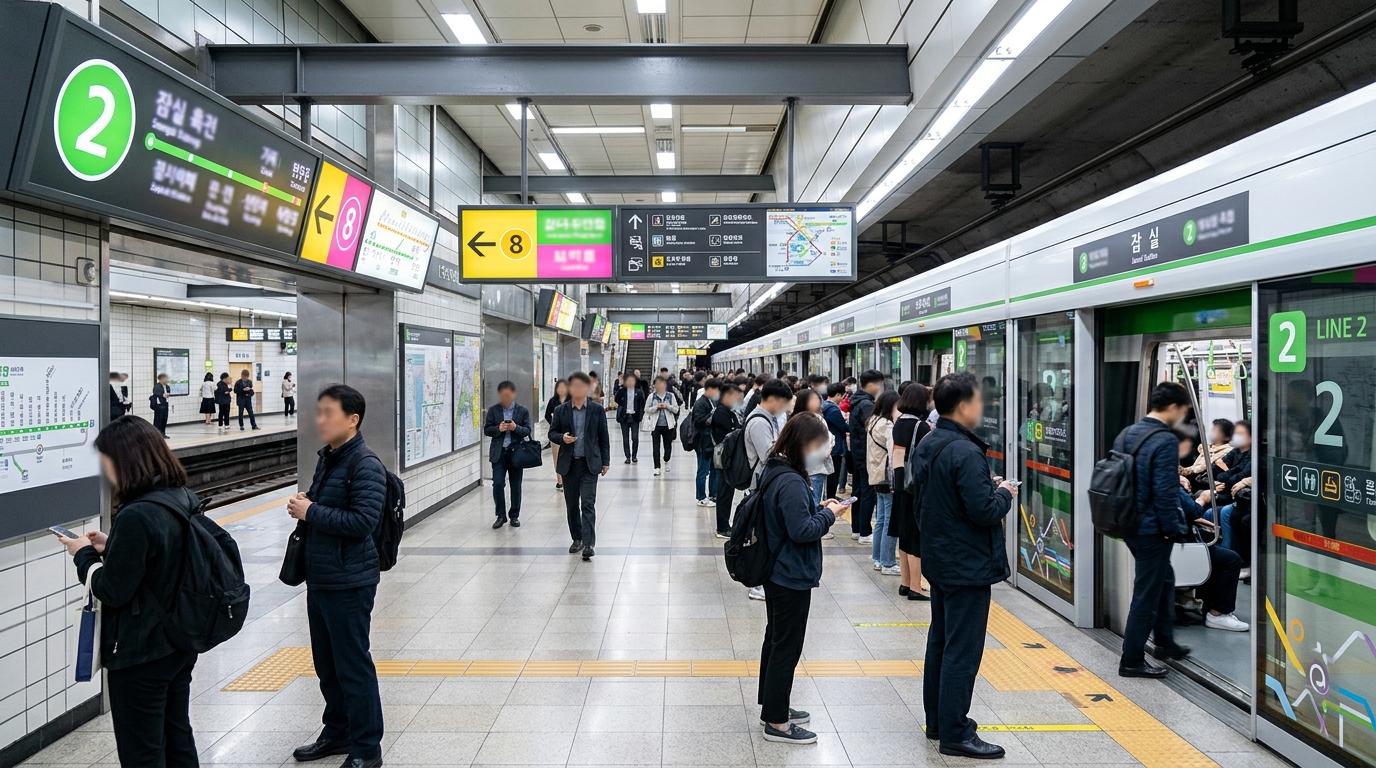
Seoul’s subway map has a certain first-glance drama: a bright tangle of lines, transfer loops, airport rail, suburban branches, and station names that seem to stretch forever. The good news is that it is far more traveler-friendly in real life than it looks on a screen. Stations are color-coded, signs use Korean, English, and Chinese, and once the rhythm clicks, the subway becomes the easiest way to move between Seoul’s classic neighborhoods, shopping streets, palaces, airports, and late-night food stops.
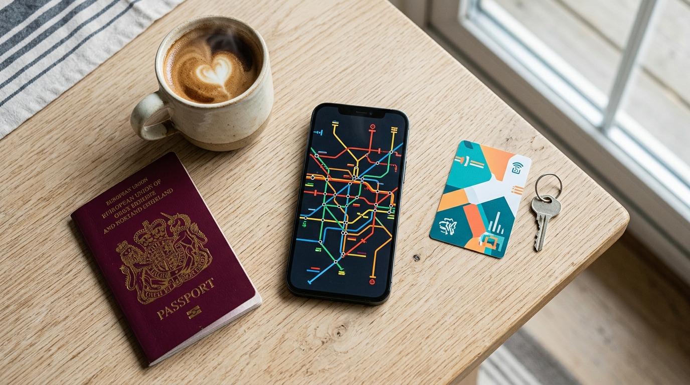
The trick is not relying on one map for everything. A downloadable Seoul metro map is perfect for orientation. A route search tool is better for timing, transfers, fares, and last trains. A tourist map helps you see where the stations actually sit in relation to palaces, markets, cafés, and neighborhoods.
At Creatrip, we like to think of it as a small travel stack: one official subway map, one route app, and one airport plan.
The official Seoul subway map to download
For a static Seoul metro map — the kind you save on your phone, print, or keep open in your hotel room — the most reliable official source is the Seoul Open Data Plaza dataset OA-22535, listed as 서울교통공사_수도권 지하철 노선도 4종(국영중일).
It provides the Seoul metropolitan subway map in four languages:
- Korean
- English
- Simplified Chinese
- Japanese
Each language comes in PDF and JPG, so there are eight downloadable files in total. The currently listed version date is 2025-09-29. For English-speaking travelers, the key file is:
- English PDF:
지하철-영문노선도_20250929.pdf - English JPG: also available from the same official dataset
The Seoul Metro website also has a friendlier Cyber Station → Subway Map area with multilingual subway map downloads. For most travelers, that is easier to use. For anyone who cares about the exact file date, the Seoul Open Data Plaza listing is cleaner because it shows the version date and file details.
A small note from the practical side: old Seoul subway PDFs still float around online, including official-looking files from years ago. Seoul’s network has changed, with newer extensions and light rail lines added over time. Random image-search results are fine for a quick glance, but they are not what we would save for a real trip. Look for the 2025-09-29 official map or check Seoul Metro’s latest map download page before leaving.
A map is not the same as a route planner
A subway map shows the shape of the network. It does not know that one transfer has a long walk, that a train is near its last departure, or that an airport train requires a different ticket. For actual station-to-station planning, the official tool is Seoul Metro Cyber Station.
Cyber Station supports route search in English and Korean, and it can compare routes by:
- Shortest time
- Shortest distance
- Minimal transfer or minimal route option, depending on the interface wording
It also shows useful trip details such as estimated travel time, number of stations, transfers, distance, fare estimate, train times, first and last train information, and weekday/Saturday/Sunday or holiday timing. Some station pages also show locker and luggage-service information, including T-Locker and T-Luggage availability by exit and locker size.
For a traveler, Cyber Station is especially good when the detail matters: last trains, official fare estimates, station facilities, and route comparisons.
For daily mobile movement, many visitors still find Naver Map, KakaoMap, Kakao Metro, or ODsay/KTO subway tools more comfortable. Kakao Metro is especially known for subway-specific details like which train car and door are closest to a transfer or exit — the kind of detail that saves real energy when Seoul Station or Express Bus Terminal is busy. The trade-off is that English search and interface behavior can vary, and some users find that Korean labels appear even after selecting English.
Our usual pairing is simple:
- Official check: Seoul Metro Cyber Station
- Everyday phone navigation: Naver Map or KakaoMap
- Subway-specific door and transfer help: Kakao Metro
- Multi-city Korea subway support: ODsay/KTO tools, useful beyond Seoul as well
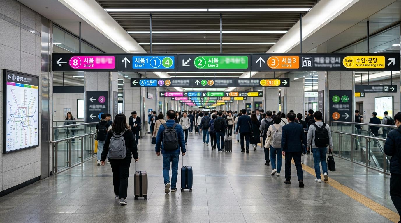
How travelers can actually read the Seoul subway map
The full map covers the wider metropolitan rail network, not just the small central tourist core. That is why it looks so huge. For a first Seoul trip, a handful of lines do most of the heavy lifting.
Line 2, green
Line 2 is the big loop that connects many everyday Seoul favorites. It is especially useful for Hongdae/Hongik University, Gangnam, Jamsil, and City Hall. Because it loops around the city, it often gives you more than one way to reach a place; route apps are helpful for choosing the direction that is faster.
Line 4, light blue
Line 4 is handy for Myeongdong and Seoul Station. From Seoul Station to Myeongdong, it is only one stop and roughly 3 minutes by subway under normal routing.
Line 3, orange
Line 3 is a lovely line for older Seoul and palace-area days. It connects well to Gyeongbokgung, Anguk, and the Insadong area.
AREX, airport railroad
AREX links Incheon Airport Terminal 2, Incheon Airport Terminal 1, Gimpo Airport, Hongik University, Gongdeok, and Seoul Station. It is one of the most important lines on the map for visitors, especially because it can take you straight to Hongdae without going through Seoul Station.
Line 9, gold
Line 9 runs along the Gimpo Airport–Yeouido–Express Bus Terminal–Gangnam/Sinnonhyeon axis and has express service. It can be very useful, but express versus local trains make timing more sensitive. Check the route app instead of guessing from the static map.
Useful route anchors from Seoul Station
Seoul Station appears on many visitors’ first-day routes, especially after arriving from the airport. A few reference points help you understand the map quickly:
| Route | Typical subway logic | Approximate travel time |
|---|---|---|
| Seoul Station → Myeongdong | Line 4, one stop | Around 3 minutes |
| Seoul Station → Hongdae/Hongik University | AREX toward Hongik University | Around 15 minutes |
| Seoul Station → Gangnam | Line 4 then Line 2 | Around 30 minutes |
These are good mental anchors, not promises. Train intervals, walking time inside stations, and transfer distance can change the door-to-door time. Seoul Station itself is large, so give yourself extra breathing room when luggage is involved.
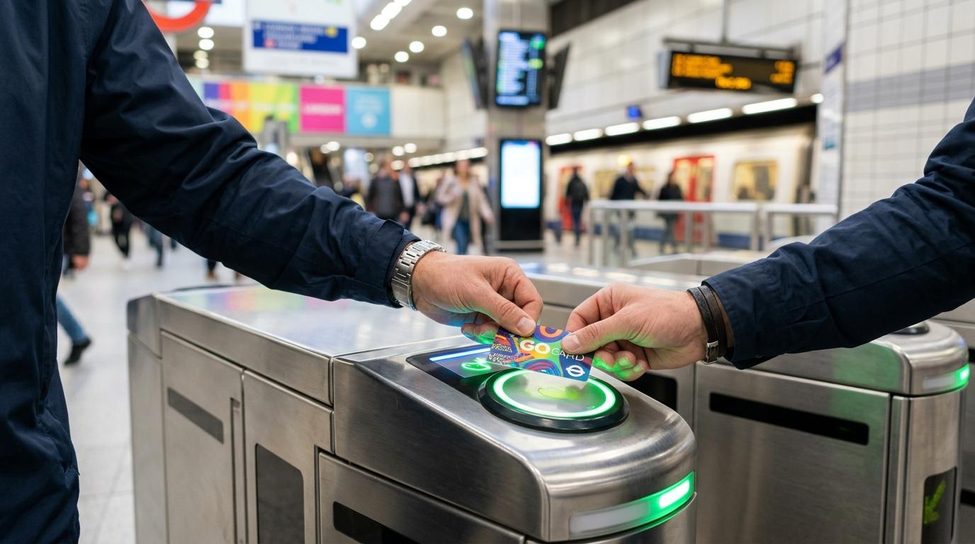
Current Seoul subway fares travelers should know
Seoul subway fares changed after older visitor pages were published, so be careful with outdated fare charts online. From 2025-06-28 first train, the basic adult subway fare in the Seoul metropolitan area rose from ₩1,400 to ₩1,550 when using a transportation card.
As of the latest official fare information reflected after that change:
| Passenger type | Transportation card | One-time subway card | Notes |
|---|---|---|---|
| Adult | ₩1,550 | ₩1,650 | One-time card is ₩100 more |
| Teenager | ₩900 | ₩1,650 | One-time adult and teen fare are the same |
| Child | ₩550 | ₩550 | Basic child fare |
A one-time subway card also requires a refundable ₩500 deposit. After arriving, use the deposit refund machine at the destination station to get the ₩500 back. It is a tiny detail, but it is one of those things travelers often forget while juggling suitcases and receipts.
Distance-based add-ons also apply:
- Basic fare covers up to 10 km
- From over 10 km to 50 km: ₩100 per 5 km
- Over 50 km: ₩100 per 8 km
There is also an early-morning discount when using a transportation card: for a first ride before 06:30, the basic fare is discounted by 20%, making the adult fare ₩1,240, teen fare ₩720, and child fare ₩440 under the current structure.
Subway and bus transfers in the metropolitan area can be discounted when using a transportation card. The transfer window is generally 30 minutes after getting off, extending to 60 minutes from 21:00 to 07:00, with up to five rides counted. This includes metropolitan subway, Seoul/Gyeonggi/Incheon buses, and GTX-A under the current rules.
Fares and policies can change, so it is worth checking Seoul Metro or TOPIS again close to travel dates — especially for longer suburban trips.
Watch for extra fares on special lines
Most central Seoul subway rides feel straightforward once you use a transportation card. A few lines can surprise visitors with extra charges.
The most common example is the Shinbundang Line, useful for some Gangnam and Bundang/Suwon-side trips. It has additional segment-based fares on top of the metropolitan basic fare. As of 2025-06-28, the separate Shinbundang fare can range from ₩700 to ₩2,200 depending on which sections you ride. A one-time Shinbundang card fare is ₩100 higher than the card fare, plus the refundable ₩500 deposit.
Airport Railroad independent sections, Yongin EverLine, Ui-Sinseol light rail, and some other special services may also have add-on fares. For central tourist movement, this rarely becomes a big issue. For hotels far outside the center or day trips toward suburban areas, let the route planner calculate the fare instead of estimating from the map.
AREX airport trains: the Seoul subway map’s most important overlay
For many visitors, the first real decision on the Seoul rail map is not Line 2 versus Line 4. It is AREX Express Train or AREX All-Stop Train from Incheon Airport.
Both are useful. They just serve different travel styles.
AREX Express Train
The AREX Express Train runs nonstop between Incheon Airport and Seoul Station.
Official travel times are:
- Incheon Airport Terminal 1 ↔ Seoul Station: 43 minutes
- Incheon Airport Terminal 2 ↔ Seoul Station: 51 minutes
The published adult fare is ₩13,000, and the child fare is ₩9,500. The Express Train uses a separate ticket or QR ticket, not the same tap-in style as a regular subway ride with a transportation card.
This is the cleaner choice when you are going near Seoul Station, transferring to Line 4 for Myeongdong, or using the Seoul Station City Airport Terminal before departure.
The downside is frequency and timing. Express trains are less frequent than the All-Stop Train and usually finish earlier at night. Always check the official AREX timetable for late arrivals.
AREX All-Stop Train
The All-Stop Train is part of the wider rail network and accepts transportation cards. It stops at places that are genuinely useful for visitors, including Gimpo Airport, Digital Media City, Hongik University, Gongdeok, and Seoul Station.
Official adult transportation-card fares from Seoul Station are:
- Seoul Station → Incheon Airport T1: ₩4,750
- Seoul Station → Incheon Airport T2: ₩5,350
A one-time card adds ₩100 and still requires the refundable ₩500 deposit.
The All-Stop Train is usually the smarter choice for Hongdae, Mapo/Gongdeok, Digital Media City, Gimpo Airport transfers, or routes that connect naturally to Line 9. It may take longer than the Express Train to Seoul Station, but it can save time overall by avoiding a backtrack.
Seoul Station City Airport Terminal
The Seoul Station City Airport Terminal is located on B2 of AREX Seoul Station and is available to Express Train ticket holders through QR gates. Current listed hours are:
- Airline check-in and baggage drop: 05:20–19:00
- Check-in reception closes: 18:50
- Departure immigration screening: 05:30–19:00
Check-in must be completed at least 3 hours before Terminal 1 flights and 3 hours 20 minutes before Terminal 2 flights. Airline eligibility and terminal assignments can change, so check the official AREX page before building a departure day around this service.
Seoul subway operating hours and last train planning
Seoul subway trains generally run from around 05:30 to midnight. That sounds simple, but last trains are route-specific. The last train to one destination may leave earlier than the last train in the opposite direction, and some late-night trains terminate before the end of the line.
For relaxed daytime sightseeing, the static map is enough. For late dinners, airport arrivals, concerts, or clubs in Hongdae and Gangnam, check last train times in Cyber Station or a current mobile map app before the night gets away from you.
A taxi at midnight is not the end of the world, but it can be expensive, and queues can grow around popular nightlife areas.
Pair the subway map with a Seoul tourist map
A subway map is excellent at showing connections. It is not always good at showing why you are going somewhere.
Seoul’s official tourism side also publishes tourist maps, including a 2026 Seoul tourist map in English and earlier English tourist map PDFs. These maps include points of interest, neighborhood context, tourist information centers, city tour bus references, AREX, and area maps for places such as central Seoul, Dongdaemun, Apgujeong, Gangnam, and Samsung.
For a real day out, this pairing works beautifully:
- Seoul Metro map: Use it to understand the rail network and transfers
- Route app: Use it for exact timing and fare
- Tourist map: Use it to see what is around the station
This is especially helpful in areas like Jongno, Anguk, Euljiro, and Dongdaemun, where several stations may be close on paper but lead to very different walking routes above ground.
Luggage, lockers, and accessibility details
Seoul’s subway is efficient, but not every transfer is equally kind to heavy luggage. Some major transfer stations involve long walks, stairs, crowded corridors, or several levels of escalators. The map cannot show that emotional truth.
Cyber Station can help with station-level details, including T-Locker and T-Luggage information at some stations. When you need to leave a suitcase before hotel check-in, it is worth checking station lockers by exit and size rather than assuming the first locker bank will have space.
For accessibility, Seoul Metro maintains pages with station facility information such as elevators, escalators, moving walkways, wheelchair lifts, wheelchair chargers, accessible toilets, audio guidance devices, and video phones for sign language. There is also an equipment status page for elevators, escalators, and wheelchair lifts, with fields like location and whether the facility is available or under repair.
A realistic note: English pages exist, but Korean pages may sometimes be more current or complete. Browser translation can be surprisingly useful for checking elevator or escalator status before a luggage-heavy ride.
KakaoMap also includes accessibility and safety layers for many urban rail stations, including details such as platform gap or height difference information and facility availability. If mobility matters for your trip, use both the route app and the station facility information rather than trusting the subway line alone.
Common Seoul subway map mistakes worth avoiding
Saving an old map from image search
Seoul’s rail network keeps changing. Use Seoul Metro’s official download page or the Seoul Open Data Plaza OA-22535 map dated 2025-09-29 rather than an old PDF that happens to look official.
Choosing the route with the shortest distance
Shortest distance is not always the easiest ride. With luggage, children, or a tight schedule, fewer transfers may be more comfortable than shaving off a few minutes.
Assuming every airport train works the same way
The AREX Express Train and All-Stop Train are different services. The Express Train is nonstop and uses a separate ticket. The All-Stop Train accepts transportation cards and stops at Hongik University, Gongdeok, Gimpo Airport, and more.
Forgetting the one-time card deposit
A one-time subway card costs the fare plus a refundable ₩500 deposit. Keep the card until you refund it at the arrival station.
Ignoring last trains
The subway generally runs until around midnight, but not every route runs to every terminal until then. Check last train details for the exact station pair.
Treating Seoul Station as a tiny transfer
Seoul Station is powerful, but it is not small. Between AREX, subway lines, trains, exits, and luggage, transfers can take longer than the map suggests.
The Creatrip map setup we would use
For a smooth Seoul trip, we would save these before arrival:
- Official static map: Seoul Metro official subway map download or Seoul Open Data Plaza OA-22535 English PDF/JPG
- Official route check: Seoul Metro Cyber Station
- Everyday navigation: Naver Map or KakaoMap
- Subway transfer detail: Kakao Metro, especially for car and door guidance
- Airport train check: Official AREX site for fares, schedules, and City Airport Terminal rules
- Neighborhood context: Official Seoul tourist map in English
No single app or map is perfect, but together they make Seoul feel much smaller. The colored lines stop looking like a puzzle and start feeling like a set of shortcuts: Line 4 into Myeongdong, AREX to Hongdae, Line 3 toward palaces, Line 2 around the city, Line 9 across the river. Once that clicks, the subway becomes one of the easiest parts of traveling in Seoul — and honestly, one of the most satisfying.